
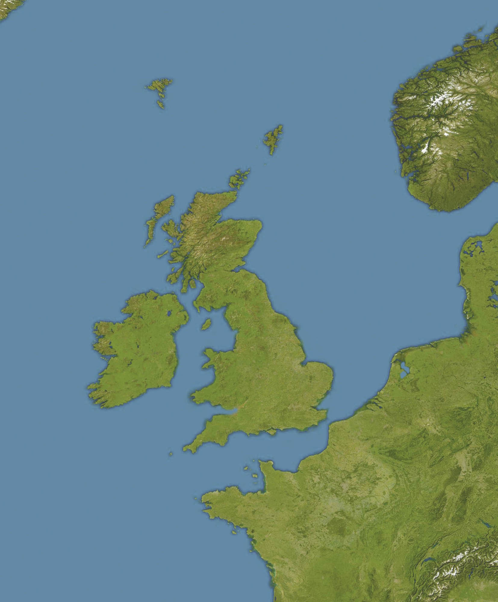
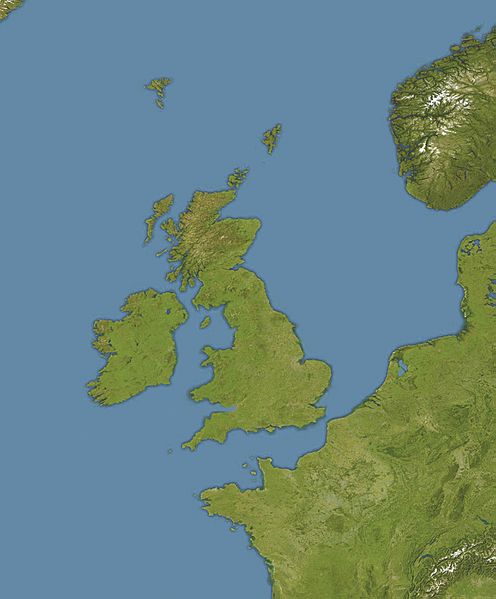
Image: Oceans around British Isles satellite image location map
Size of this preview: 496 × 599 pixels. Other resolutions: 199 × 240 pixels | 1,654 × 1,998 pixels.
Original image (1,654 × 1,998 pixels, file size: 242 KB, MIME type: image/jpeg)
Description: Location map of oceans around the United Kingdom and Ireland Equirectangular projection, N/S stretching 150 %. Geographic limits of the map: N: 65° N S: 45° N W: 15° W E: 10° E
Title: Oceans around British Isles satellite image location map
Credit: Transferred from en.wikipedia (Original text : own work, cropped version of File:Europe satellite image location map.jpg, which is a cropped and colour-edited version of File:Whole world - land and oceans 12000.jpg by NASA/Goddard Space Flight Center)
Author: Bellhalla. Original uploader was Bellhalla at en.wikipedia
Permission: PD-AUTHOR.
Usage Terms: Public domain
License: Public domain
Attribution Required?: No
Image usage
The following 4 pages link to this image:

All content from Kiddle encyclopedia articles (including the article images and facts) can be freely used under Attribution-ShareAlike license, unless stated otherwise.