
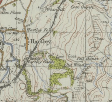
Image: Ordnance Survey Map displaying the area of Hartley
No higher resolution available.
Ordnance_Survey_Map_displaying_the_area_of_Hartley.PNG (364 × 334 pixels, file size: 306 KB, MIME type: image/png)
Description: Ordnance Survey of Great Britain New Popular Edition, Sheet 84 - Teesdale created in 1945
Title: Ordnance Survey Map displaying the area of Hartley
Credit: http://www.visionofbritain.org.uk/maps/sheet/new_pop/264_084
Author: Ordnance Survey
Usage Terms: Creative Commons Attribution-Share Alike 4.0
License: CC BY-SA 4.0
License Link: http://creativecommons.org/licenses/by-sa/4.0
Attribution Required?: Yes
Image usage
The following page links to this image:

All content from Kiddle encyclopedia articles (including the article images and facts) can be freely used under Attribution-ShareAlike license, unless stated otherwise.