
Image: Ousby Fell - geograph.org.uk - 621092
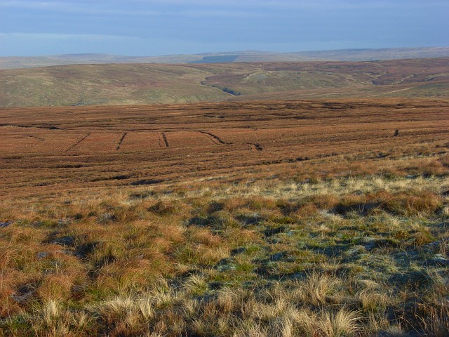
Description: Ousby Fell This is the view across the grid-square from the sheepfold at its southeastern extremity. Below you can see some parallel drainage ditches. These are the sort of feature that you can see clearly from a distance, but that you stumble into when actually there. The fell takes its name from the village, quite a distance away, to the west of the high Pennine watershed. The parishes here stretch for miles either side of the watershed. The view takes in the valley of Black Burn/Cash Burn first and then that of the River South Tyne.
Title: Ousby Fell - geograph.org.uk - 621092
Credit: From geograph.org.uk
Author: Andrew Smith
Usage Terms: Creative Commons Attribution-Share Alike 2.0
License: CC BY-SA 2.0
License Link: https://creativecommons.org/licenses/by-sa/2.0
Attribution Required?: Yes
Image usage
The following page links to this image:
