
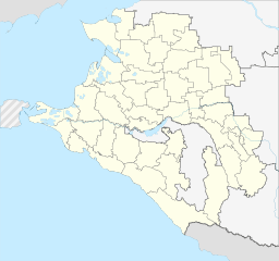
Image: Outline Map of Krasnodarski Krai (with Crimea disputed)

Size of this PNG preview of this SVG file: 640 × 600 pixels. Other resolution: 256 × 240 pixels.
Original image (SVG file, nominally 903 × 846 pixels, file size: 623 KB)
Description: Административная карта Краснодарского края, Россия. Координаты для GMT: -R36/42/43/47 Инструменты: GMT, Inkscape
Title: Outline Map of Krasnodarski Krai (with Crimea disputed)
Credit: Own derivative from this revision of File:Outline Map of Krasnodarski Krai.svg
Author: Stasyan117 (original) Seryo93 (derivative)
Usage Terms: Creative Commons Attribution-Share Alike 2.0
License: CC BY-SA 2.0
License Link: https://creativecommons.org/licenses/by-sa/2.0
Attribution Required?: Yes
Image usage
The following page links to this image:

All content from Kiddle encyclopedia articles (including the article images and facts) can be freely used under Attribution-ShareAlike license, unless stated otherwise.
.svg)