
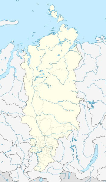
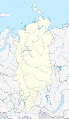
Image: Outline Map of Krasnoyarsk Krai

Size of this PNG preview of this SVG file: 350 × 600 pixels. Other resolution: 140 × 240 pixels.
Original image (SVG file, nominally 512 × 877 pixels, file size: 1.21 MB)
Description: Позиционная карта Красноярского края Проекция — коническая равнопромежуточная. первая стандартная параллель — 58°00'с.ш. вторая стандартная параллель — 74°00'с.ш. средний меридиан — 96°00'в.д.
Title: Outline Map of Krasnoyarsk Krai
Credit: OpenStreetMap.org NaturalEarthData.com
Author: Виктор В
Usage Terms: Creative Commons Attribution-Share Alike 2.0
License: CC BY-SA 2.0
License Link: https://creativecommons.org/licenses/by-sa/2.0
Attribution Required?: Yes
Image usage
The following page links to this image:

All content from Kiddle encyclopedia articles (including the article images and facts) can be freely used under Attribution-ShareAlike license, unless stated otherwise.