
Image: PANTHER CREEK RISES=Schuylkill Drainage Divides USGS, Hazelton-Mauch Chunk &Mountain Quads,NW+NE-4
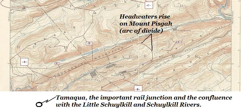
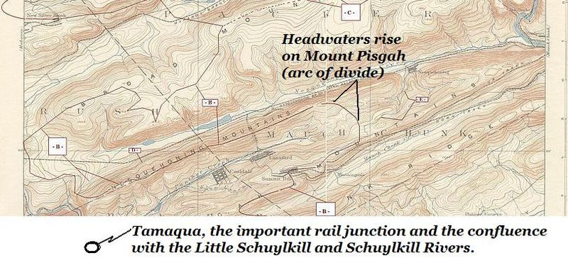
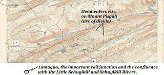
Description: Most of the 7 minute and 30 second run westwardly of Panther Creek in Northeastern Pennsylvania from its rising on Mount Pisgah above but on the opposite slope from both Nesquehoning, Pennsylvania and Jim Thorpe, PA, thence running westerly between Pisgah Ridge (south) and Nesquehoning Ridge (north ridgeline) to its confluence in Tamaqua, Pennsylvania (just off the map to the lower left) with the Little Schuylkill River and its nearly co-located confluence with the Schuylkill River.
Title: PANTHER CREEK RISES=Schuylkill Drainage Divides USGS, Hazelton-Mauch Chunk &Mountain Quads,NW+NE-4
Credit: USGS,_Hazelton Quadrant 1893 survey
Author: USGS, as adapted by FrankB
Permission: This work is in the public domain in the United States because it is a work prepared by an officer or employee of the United States Government as part of that person’s official duties under the terms of Title 17, Chapter 1, Section 105 of the US Code. Note: This only applies to original works of the Federal Government and not to the work of any individual U.S. state, territory, commonwealth, county, municipality, or any other subdivision. This template also does not apply to postage stamp designs published by the United States Postal Service since 1978. (See § 313.6(C)(1) of Compendium of U.S. Copyright Office Practices). It also does not apply to certain US coins; see The US Mint Terms of Use.
Usage Terms: Public domain
License: Public domain
Attribution Required?: No
Image usage
The following 2 pages link to this image:
