
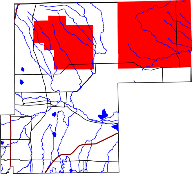
Image: Pawnee National Grassland location in Weld County

Size of this preview: 662 × 599 pixels. Other resolutions: 265 × 240 pixels | 3,500 × 3,169 pixels.
Original image (3,500 × 3,169 pixels, file size: 667 KB, MIME type: image/png)
Description: A map of Weld County, Colorado, with Pawnee National Grassland highlighted in red. The reddish lines are Interstate Highways.
Title: Pawnee National Grassland location in Weld County
Credit: David Benbennick made this map with data from nationalatlas.gov.
Author: David Benbennick
Usage Terms: Public domain
License: Public domain
Attribution Required?: No
Image usage
The following page links to this image:

All content from Kiddle encyclopedia articles (including the article images and facts) can be freely used under Attribution-ShareAlike license, unless stated otherwise.