
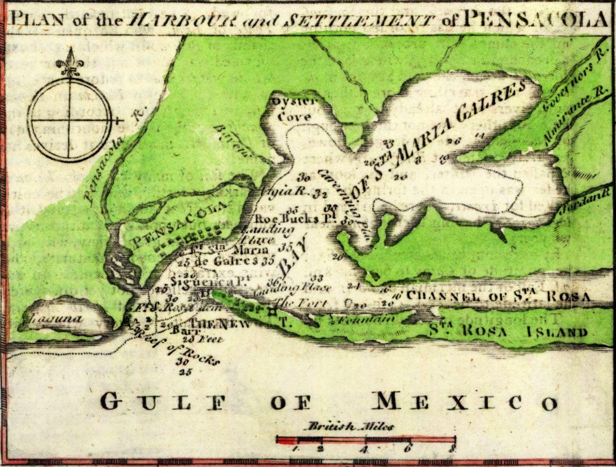
Image: PensacolaMap1763
Size of this preview: 791 × 600 pixels. Other resolutions: 317 × 240 pixels | 1,267 × 961 pixels.
Original image (1,267 × 961 pixels, file size: 377 KB, MIME type: image/jpeg)
Description: This is a map depicting the area around Pensacola in 1763. It contains notations relevant to a military action.
Title: PensacolaMap1763
Credit: From Maps ETC at the University of South Florida: http://fcit.usf.edu/florida/maps/pages/3500/f3583/f3583z.htm
Author: J. Gibson
Usage Terms: Public domain
License: Public domain
Attribution Required?: No
Image usage
The following page links to this image:

All content from Kiddle encyclopedia articles (including the article images and facts) can be freely used under Attribution-ShareAlike license, unless stated otherwise.