
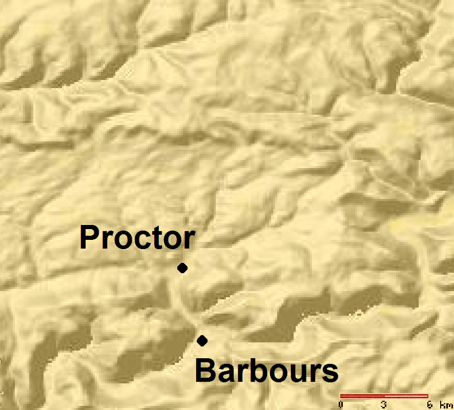
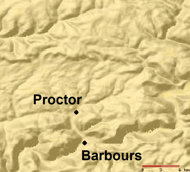
Image: Plunketts Creek Relief Map
Size of this preview: 664 × 600 pixels. Other resolutions: 266 × 240 pixels | 886 × 800 pixels.
Original image (886 × 800 pixels, file size: 107 KB, MIME type: image/png)
Description: Relief Map of Plunketts Creek Watershed in Lycoming and Sullivan Counties, Pennsylvania, United States
Title: Plunketts Creek Relief Map
Credit: This is a section of a map taken from the planiglobe website [1] and enlarged by User:Ruhrfisch.
Author: Planiglobe
Permission: According to the planiglobe website, "This work is licensed under a Creative Commons Attribution 2.5 License."
Usage Terms: Creative Commons Attribution 2.5
License: CC BY 2.5
License Link: https://creativecommons.org/licenses/by/2.5
Attribution Required?: Yes
Image usage
The following page links to this image:

All content from Kiddle encyclopedia articles (including the article images and facts) can be freely used under Attribution-ShareAlike license, unless stated otherwise.