
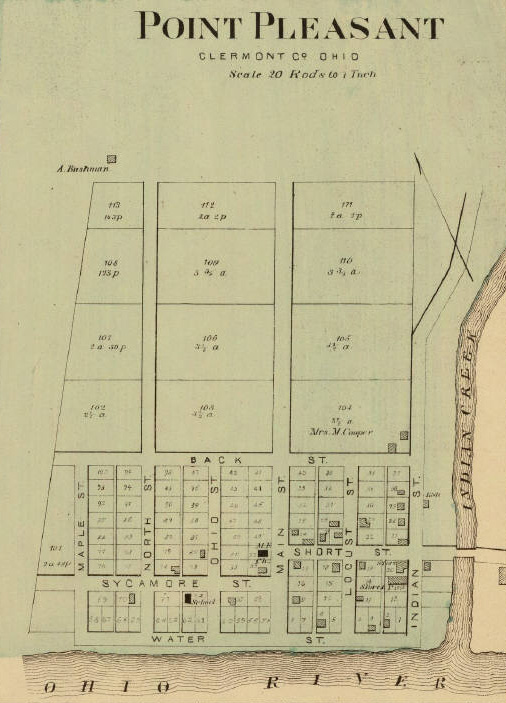
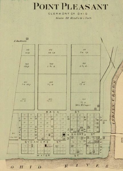
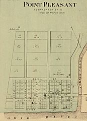
Image: Point Pleasant, Ohio 1877 map
Size of this preview: 431 × 599 pixels. Other resolutions: 173 × 240 pixels | 506 × 703 pixels.
Original image (506 × 703 pixels, file size: 127 KB, MIME type: image/jpeg)
Description: Detail of map showing Point Pleasant, Ohio.
Title: Point Pleasant, Ohio 1877 map
Credit: From 1877 county atlas, author Eli L. Hayes.
Author: Eli L. Hayes
Usage Terms: Public domain in the United States
License: PD-US
License Link: //en.wikipedia.org/wiki/File:Point_Pleasant,_Ohio_1877_map.jpg
Image usage
The following page links to this image:

All content from Kiddle encyclopedia articles (including the article images and facts) can be freely used under Attribution-ShareAlike license, unless stated otherwise.