
Image: Port Sulphur Louisiana aerial view

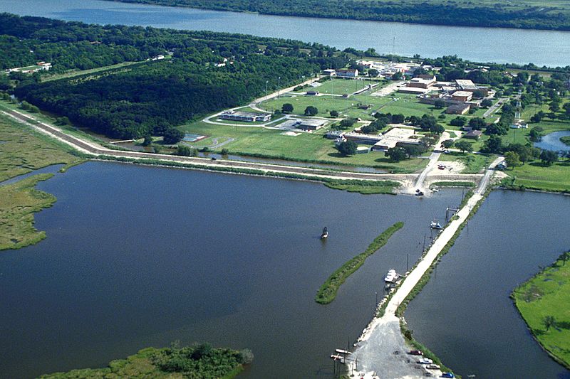
Description: Aerial view of the central part of Port Sulphur in Plaquemines Parish, Louisiana, USA. The Mississippi River runs northwest–southeast at the top of the picture. View is to the north-northeast.
Title: Port Sulphur Louisiana aerial view
Credit: U.S. Army Corps of Engineers Digital Visual Library Image page Image description page Digital Visual Library home page
Author: Michael Maples, U.S. Army Corps of Engineers
Permission: This image or file is a work of a U.S. Army Corps of Engineers soldier or employee, taken or made as part of that person's official duties. As a work of the U.S. federal government, the image is in the public domain. English | italiano | Nederlands | русский | Türkçe | українська | +/−
Usage Terms: Public domain
License: Public domain
Attribution Required?: No
Image usage
The following page links to this image:
