
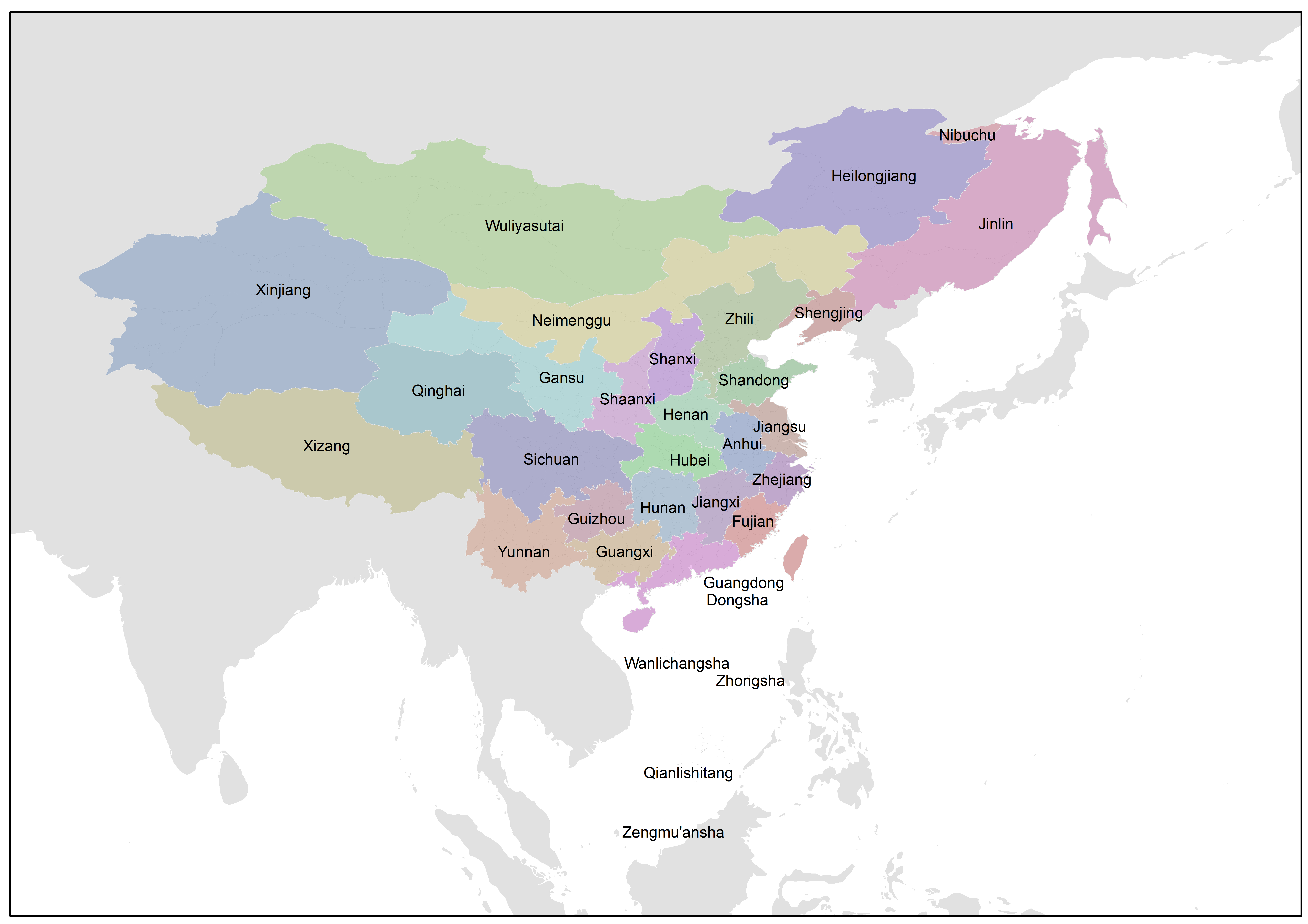
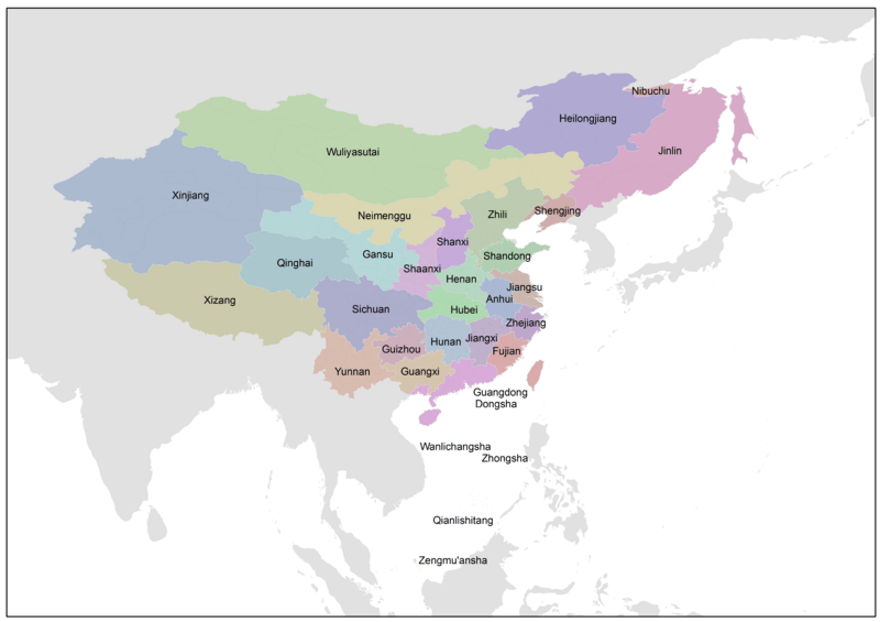
Image: Qing 1820 CHGIS
Size of this preview: 800 × 565 pixels. Other resolutions: 320 × 226 pixels | 7,018 × 4,960 pixels.
Original image (7,018 × 4,960 pixels, file size: 346 KB, MIME type: image/png)
Description: A reprojected map on China's Qing Dynasty 1820, based on the "CHGIS, Version 5" Cambridge: Fairbank Center for Chinese Studies, Sep 2011." CHGIS Fairbank Center for Chinese Studies, Harvard University CHGIS Center for Historical Geography, Fudan University
Title: Qing 1820 CHGIS
Credit: Own work
Author: Hanteng
Usage Terms: Creative Commons Attribution-Share Alike 3.0
License: CC BY-SA 3.0
License Link: https://creativecommons.org/licenses/by-sa/3.0
Attribution Required?: Yes
Image usage
The following page links to this image:

All content from Kiddle encyclopedia articles (including the article images and facts) can be freely used under Attribution-ShareAlike license, unless stated otherwise.