
Image: Race and ethnicity 2010- Colorado Springs (5560451638)
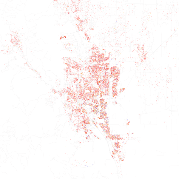
Size of this preview: 600 × 600 pixels. Other resolutions: 240 × 240 pixels | 3,009 × 3,009 pixels.
Original image (3,009 × 3,009 pixels, file size: 774 KB, MIME type: image/png)
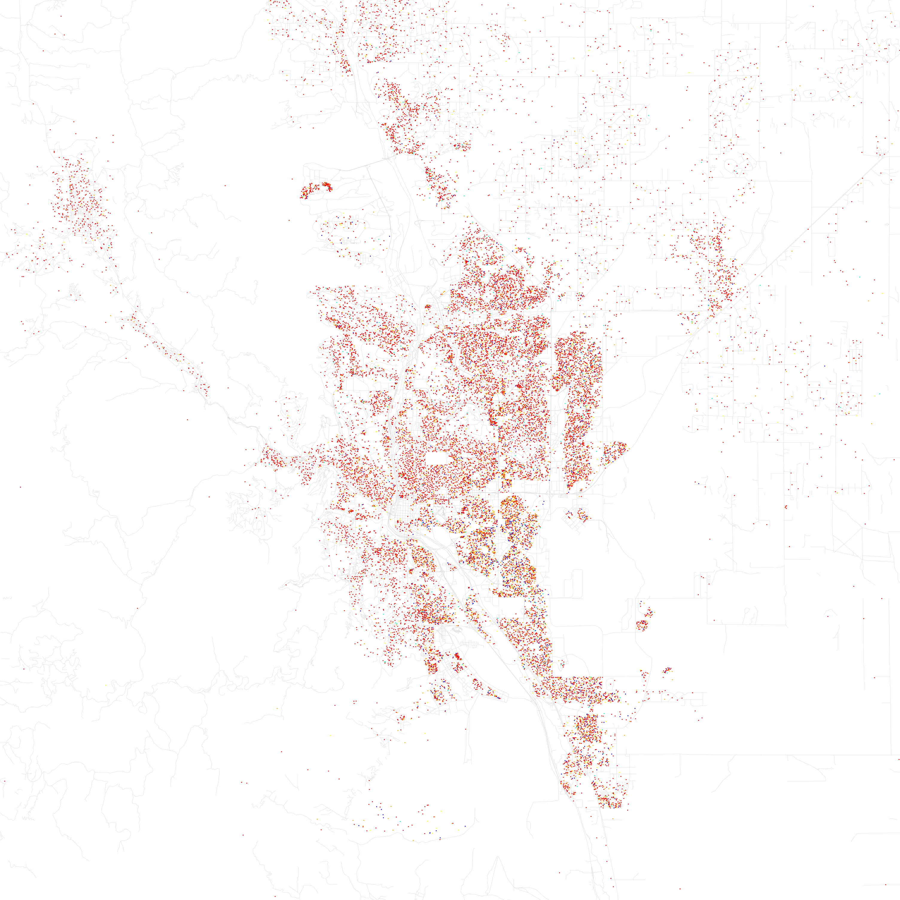
Description: Maps of racial and ethnic divisions in US cities, inspired by Bill Rankin's map of Chicago, updated for Census 2010. Red is White, Blue is Black, Green is Asian, Orange is Hispanic, Yellow is Other, and each dot is 25 residents. Data from Census 2010. Base map © OpenStreetMap, CC-BY-SA
Title: Race and ethnicity 2010- Colorado Springs (5560451638)
Credit: Race and ethnicity 2010: Colorado Springs
Author: Eric Fischer
Usage Terms: Creative Commons Attribution-Share Alike 2.0
License: CC BY-SA 2.0
License Link: https://creativecommons.org/licenses/by-sa/2.0
Attribution Required?: Yes
Image usage
The following page links to this image:

All content from Kiddle encyclopedia articles (including the article images and facts) can be freely used under Attribution-ShareAlike license, unless stated otherwise.
.png)