
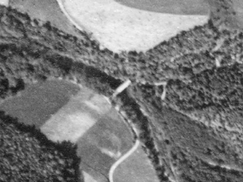
Image: Riegel Covered Bridge No. 6 Aerial View 1938

Description: Aerial photo of w:Riegel Covered Bridge No. 6 over Roaring Creek in Franklin Township in Columbia County, Pennsylvania, USA in October, 1938. The bridge was destroyed in an arson fire in May 1979. This is an image of a place or building that is listed on the National Register of Historic Places in the United States of America. Its reference number is 64000712.
Title: Riegel Covered Bridge No. 6 Aerial View 1938
Credit: File is here at the Penn Pilot website, "a project sponsored by the Pennsylvania Geological Survey, is an online library of digital historical aerial photography for the Commonwealth of Pennsylvania." Original file name was "columbia_100438_aqr_18_20.jpg", cropped by Ruhrfisch (talk)
Author: According to this, "The photos were produced by the United States Department of Agriculture, Agricultural Adjustment Administration (now known as the Farm Service Agency)." The website gives the following information for the full photo this is cropped from: "Flight date: 10/04/1938; Scale: 1:20000; County ID: aqr; Roll ID: 18 Photo #: 20; Index: 9 of 14; Flying complete: 07/1939; Produced by: USDA Agricultural Adjustment Administration Northeast Division; Contractor: Woltz Studios, Inc. Aerial Surveys Des Moines, IA"
Permission: This image or file is a work of a United States Department of Agriculture employee, taken or made as part of that person's official duties. As a work of the U.S. federal government, the image is in the public domain.
Usage Terms: Public domain
License: Public domain
Attribution Required?: No
Image usage
The following page links to this image:
