
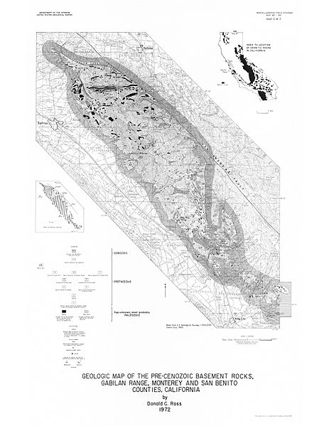
Image: Ross 1972 Geologic Map of the Pre-Cenozoic Basement Rocks, Gabilan Range, Monterey and San Benito Counties, California, USGS Misc. Field Investigations Map MF-357

Size of this preview: 463 × 599 pixels. Other resolutions: 185 × 240 pixels | 8,118 × 10,505 pixels.
Original image (8,118 × 10,505 pixels, file size: 4.34 MB, MIME type: image/jpeg)
Description: This map defines the extent of the Gabilan Range in California.
Title: Ross 1972 Geologic Map of the Pre-Cenozoic Basement Rocks, Gabilan Range, Monterey and San Benito Counties, California, USGS Misc. Field Investigations Map MF-357
Credit: https://ngmdb.usgs.gov/Prodesc/proddesc_2777.htm
Author: D. C. Ross, U.S. Geological Survey
Usage Terms: Public domain
License: Public domain
Attribution Required?: No
Image usage
The following page links to this image:

All content from Kiddle encyclopedia articles (including the article images and facts) can be freely used under Attribution-ShareAlike license, unless stated otherwise.