
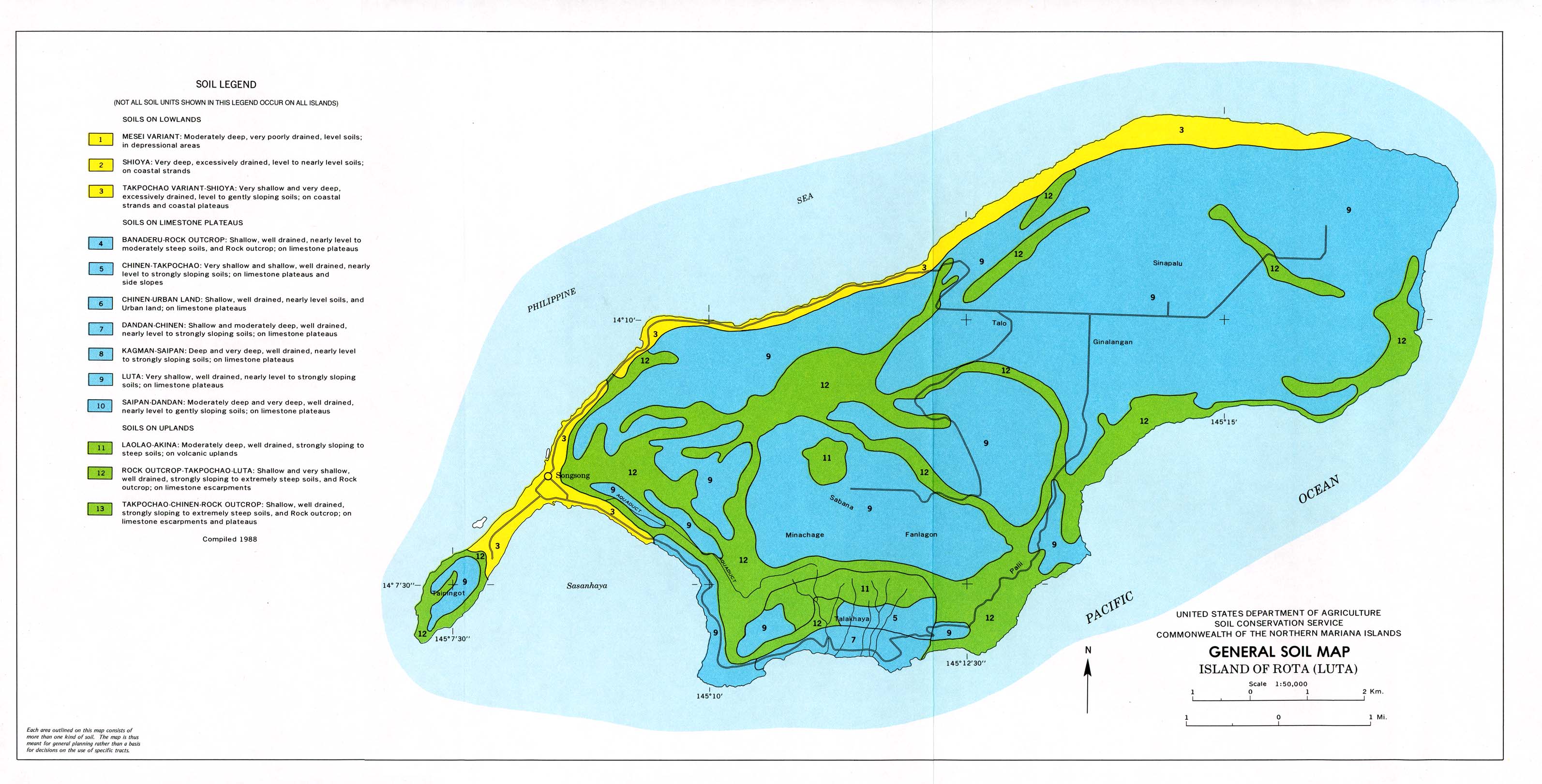
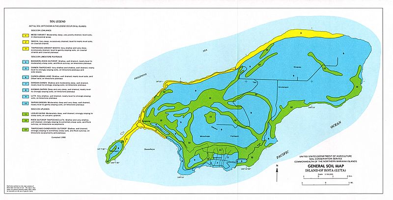
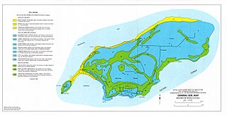
Image: Rota soil map, 1988
Size of this preview: 800 × 407 pixels. Other resolutions: 320 × 163 pixels | 3,187 × 1,622 pixels.
Original image (3,187 × 1,622 pixels, file size: 495 KB, MIME type: image/jpeg)
Description: Map of the soil types on the island of Rota in the Commonwealth of the Northern Mariana Islands, as of 1988.
Title: Rota soil map, 1988
Credit: https://maps.lib.utexas.edu/maps/australia/rota_soil_1988.jpg
Author: United States Department of Agriculture, Soil Conservation Service
Usage Terms: Public domain
License: Public domain
Attribution Required?: No
Image usage
The following page links to this image:

All content from Kiddle encyclopedia articles (including the article images and facts) can be freely used under Attribution-ShareAlike license, unless stated otherwise.