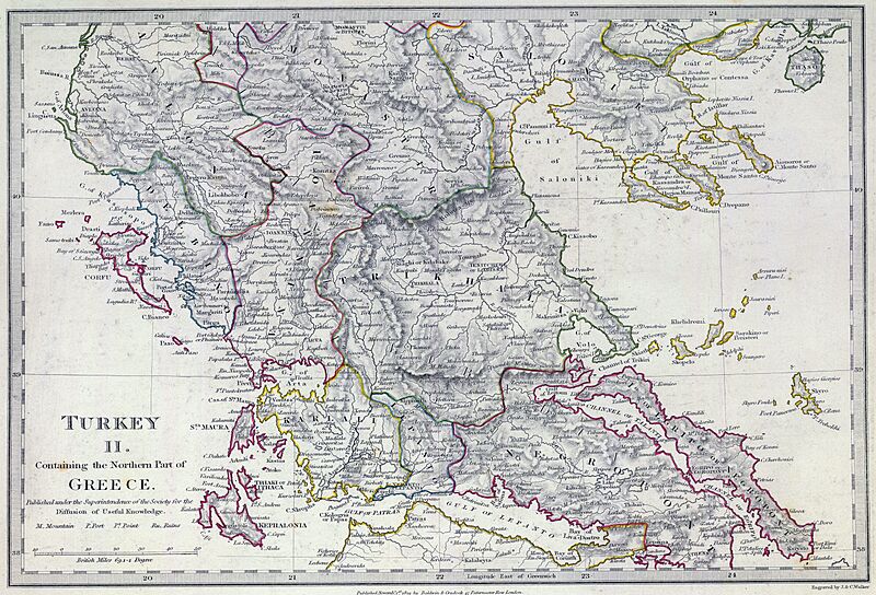
Image: SDUK - Turkey II. Containing the Northern Part of Greece

Size of this preview: 800 × 544 pixels. Other resolutions: 320 × 217 pixels | 5,764 × 3,916 pixels.
Original image (5,764 × 3,916 pixels, file size: 3.96 MB, MIME type: image/jpeg)
Description: The southern provinces of European Turkey (Ottoman Empire) in 1829, including the northern portions of independent Greece (not differentiated in this map, which shows the pre-Greek War of Independence administrative boundaries). Published under the superintendence of the Society for the Diffusion of Useful Knowledge.
Title: SDUK - Turkey II. Containing the Northern Part of Greece
Credit: David Rumsey Historical Map Collection
Author: Engraved by J. & C. Walker. Published September 1st. 1829 by Baldwin & Cradock, 47 Paternoster Row, London. (London: Chapman & Hall, 1844)
Usage Terms: Public domain
License: Public domain
Attribution Required?: No
Image usage
The following page links to this image:

All content from Kiddle encyclopedia articles (including the article images and facts) can be freely used under Attribution-ShareAlike license, unless stated otherwise.
