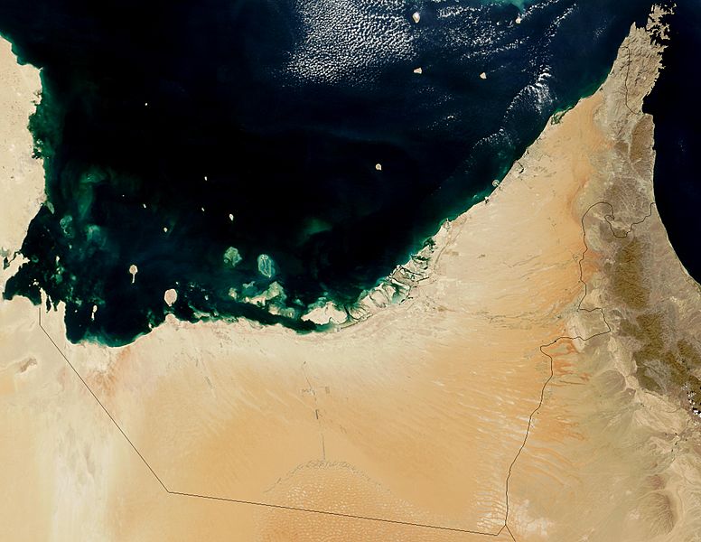
Image: Satellite image of United Arab Emirates in October

Description: Satellite image of United Arab Emirates. The United Arab Emirates lies along the inside of the Arabian Peninsula’s southern curve, between Oman, Saudi Arabia, and the Persian Gulf. Though comprised mostly of desert, the UAE also has the spectacular Trucial Coast. In order to increase its appeal to tourists and diversify its economic base, a number of projects are occurring, including a massive land-formation project visible in this image. Palm Island, which is located on the upper eastern coast, is entirely constructed, using sand dredged from the approach channel to the Jebel Ali Airport. This island is one of two to be completed by 2006, and will form a resort that will provide approximately 1200 single-family residences with private beach-fronts, 600 multi-family residences, an aquatic theme park, shopping centers, cinemas, and more.
Title: Satellite image of United Arab Emirates in October
Credit: https://visibleearth.nasa.gov/images/69015/united-arab-emirates
Author: Jacques Descloitres, MODIS Rapid Response Team, NASA/GSFC
Usage Terms: Public domain
License: Public domain
Attribution Required?: No
Image usage
The following page links to this image:

