
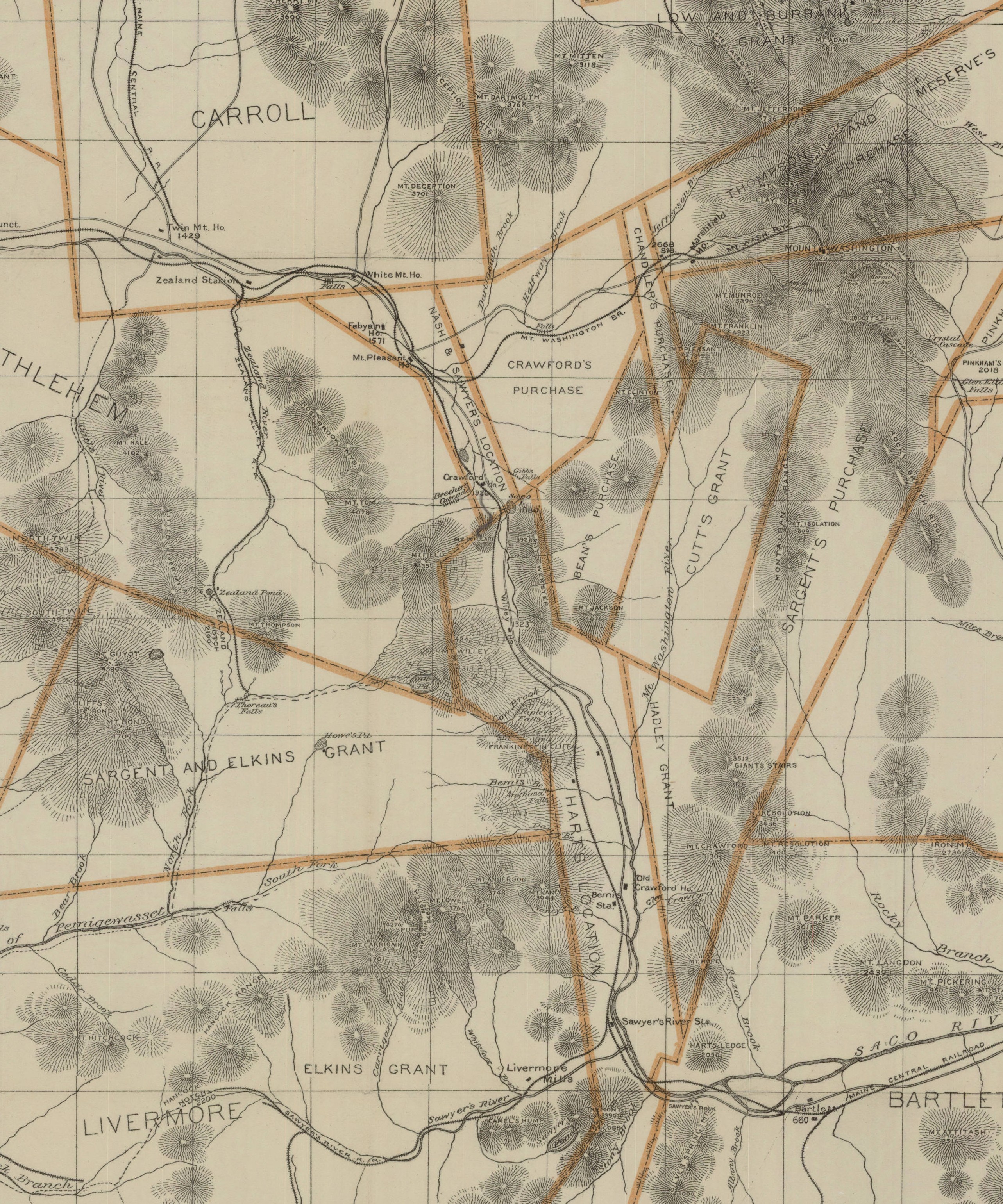
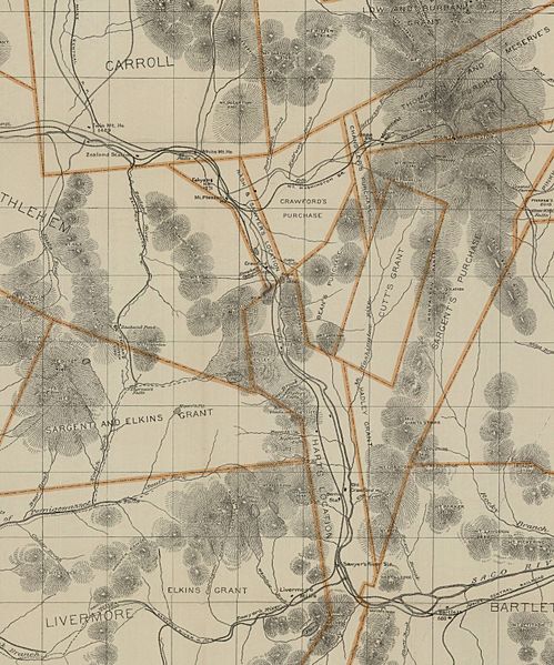
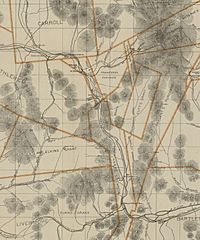
Image: Section of Crawford's map of the White Mountains of New Hampshire from original surveys by Geo. T. Crawford
Size of this preview: 499 × 599 pixels. Other resolutions: 200 × 240 pixels | 2,567 × 3,083 pixels.
Original image (2,567 × 3,083 pixels, file size: 2.37 MB, MIME type: image/jpeg)
Description: Section of Crawford's map of the White Mountains of New Hampshire from original surveys by Geo. T. Crawford. Section is zoomed from the original and concentrates on the areas of Hart's Location and Nash & Sawyers Location
Title: Section of Crawford's map of the White Mountains of New Hampshire from original surveys by Geo. T. Crawford
Credit: Derived from a zoomed-in crop of the map shown at http://libarchive.dartmouth.edu/cdm/singleitem/collection/gsmaps/id/1943/rec/14
Author: Geo. T. Crawford
Usage Terms: Public domain
License: Public domain
Attribution Required?: No
Image usage
The following page links to this image:

All content from Kiddle encyclopedia articles (including the article images and facts) can be freely used under Attribution-ShareAlike license, unless stated otherwise.