
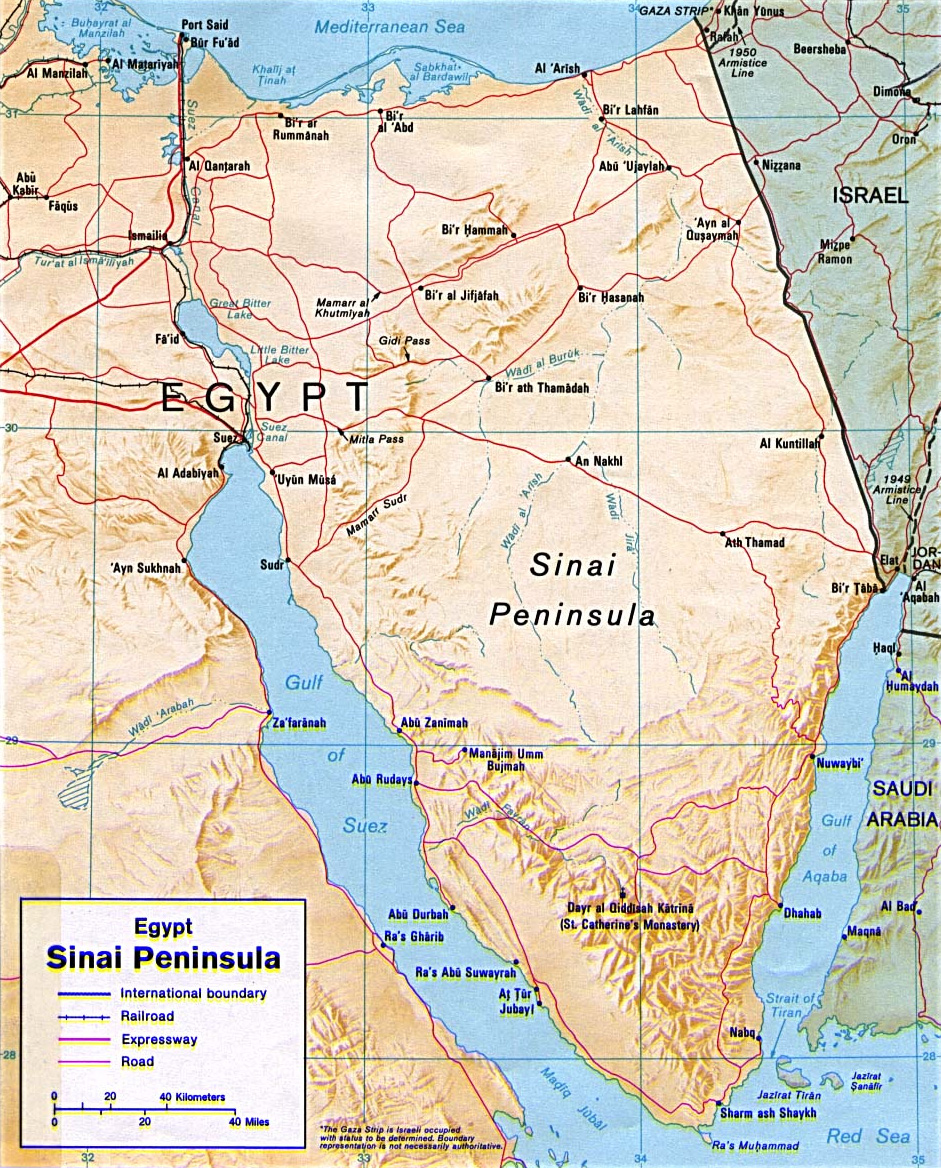
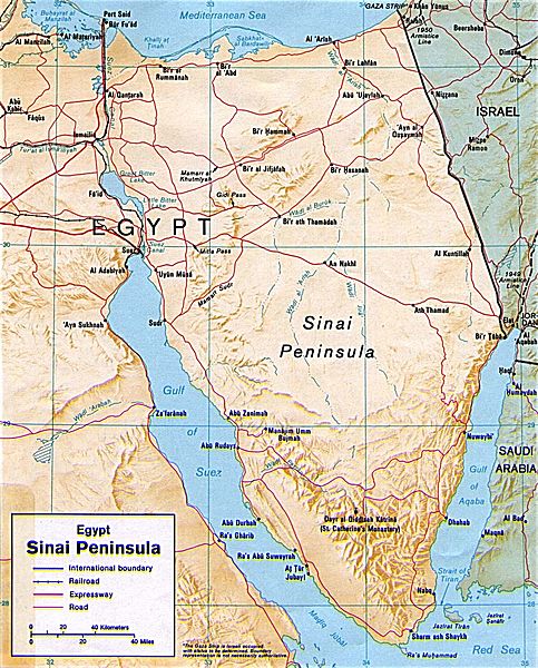
Image: Sinai-peninsula-map
Size of this preview: 483 × 600 pixels. Other resolutions: 193 × 240 pixels | 941 × 1,168 pixels.
Original image (941 × 1,168 pixels, file size: 665 KB, MIME type: image/jpeg)
Description: Shaded relief map of the Sinai Peninsula, 1992, produced by the U.S. Central Intelligence Agency.
Title: Sinai-peninsula-map
Credit: University of Texas Libraries, Perry-Castañeda Library Map Collection: Egypt Maps This image is a copy or a derivative work of sinai.jpg, from the map collection of the Perry-Castañeda Library (PCL) of the University of Texas at Austin. This tag does not indicate the copyright status of the attached work. A normal copyright tag is still required. See Commons:Licensing for more information.
Author: CIA
Usage Terms: Public domain
License: Public domain
Attribution Required?: No
Image usage
The following page links to this image:

All content from Kiddle encyclopedia articles (including the article images and facts) can be freely used under Attribution-ShareAlike license, unless stated otherwise.