
Image: Smoky Hills from I-70 01
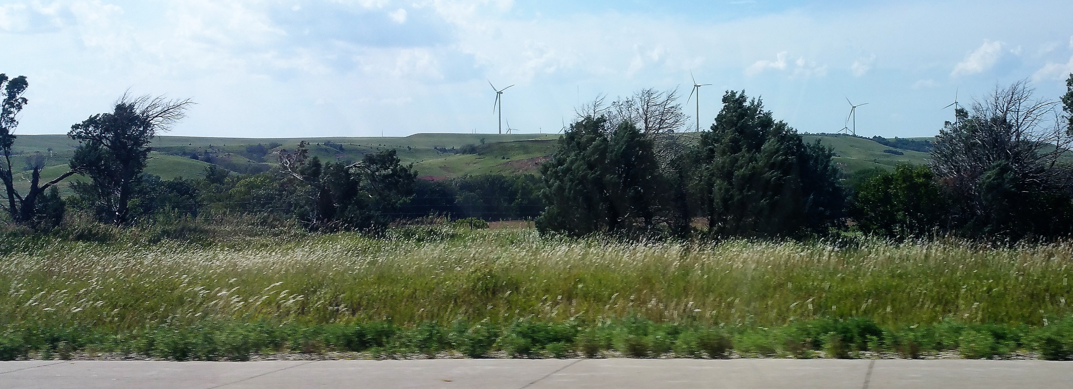
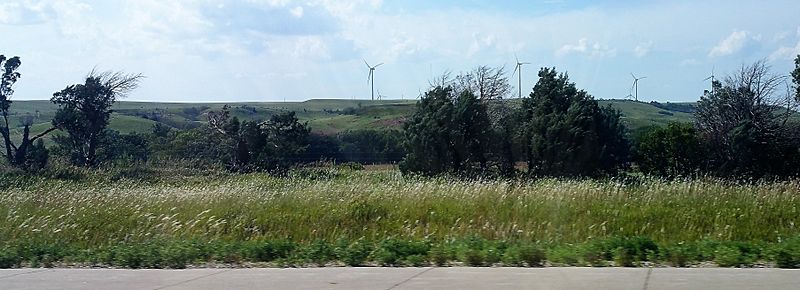
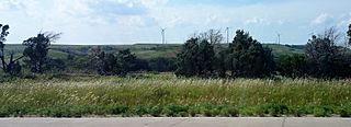
Description: After rising up over residual hills of the Dakota Formation west of Salina, Kansas, between miles 231 and 221, Interstate 70 passes over a remarkable example Smoky Hills. Here, the hills are topped by the lower half of the Greenhorn Formation, indicated by the light-blue-grey shale and limestone beds in the hilltop road cuts. These particular hills were crossed by Zebulon Pike in 1806, who described them as "mountainous". The east-bound rest area is deep in the valleys of this section and has examples of the local sandstone outcrops. The heights of these hills amplify the crossing winds for the Smoky Hills Wind Project.
Title: Smoky Hills from I-70 01
Credit: Own work
Author: IveGoneAway
Usage Terms: Creative Commons Attribution-Share Alike 4.0
License: CC BY-SA 4.0
License Link: https://creativecommons.org/licenses/by-sa/4.0
Attribution Required?: Yes
Image usage
The following page links to this image:
