
Image: South Atlantic Ocean laea relief location map
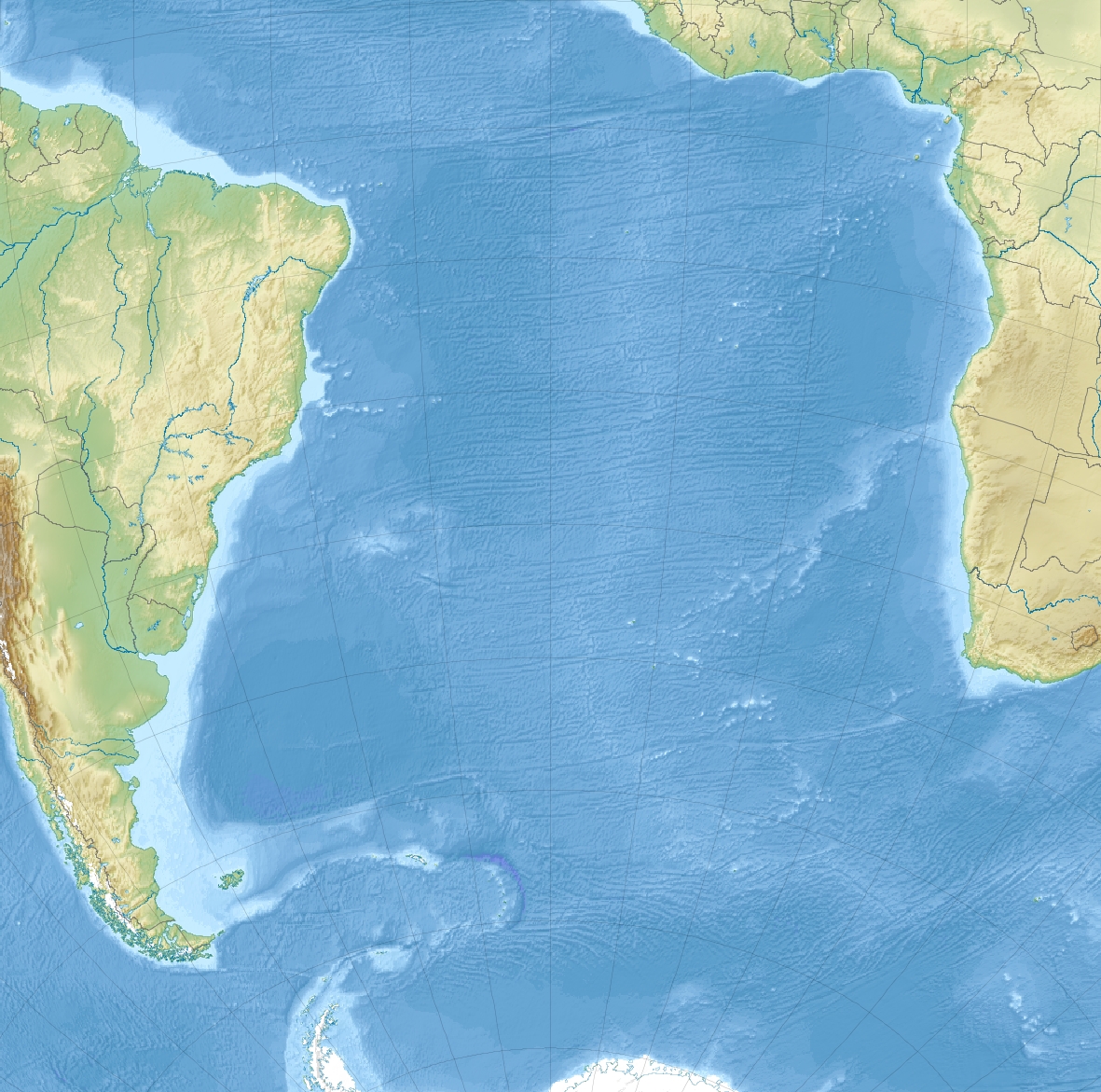
Description: Relief location map of South_Atlantic_Ocean. Projection: Lambert azimuthal equal-area projection. Area of interest: N: 10.0° N S: -70.0° N W: -60.0° E E: 20.0° E Projection center: NS: -37.1° N WE: -12.3° E GMT projection: -JA-20.0/-30.0/180/19.998266666666666c GMT region: -R-101.75576886232234/-51.72069985658921/20.062665960105004/15.049750517347888r GMT region for grdcut: -R-102.0/-74.0/62.0/16.0r Relief: SRTM30plus. Made with Natural Earth. Free vector and raster map data @ naturalearthdata.com.
Title: South Atlantic Ocean laea relief location map
Credit: Own work
Author: Uwe Dedering
Usage Terms: Creative Commons Attribution-Share Alike 3.0
License: CC BY-SA 3.0
License Link: https://creativecommons.org/licenses/by-sa/3.0
Attribution Required?: Yes
Image usage
The following page links to this image:
