
Image: South Kings Peak, Uinta Mountains, Duchesne County, Utah, USA
Size of this preview: 800 × 600 pixels. Other resolutions: 320 × 240 pixels | 2,592 × 1,944 pixels.
Original image (2,592 × 1,944 pixels, file size: 1.74 MB, MIME type: image/jpeg)
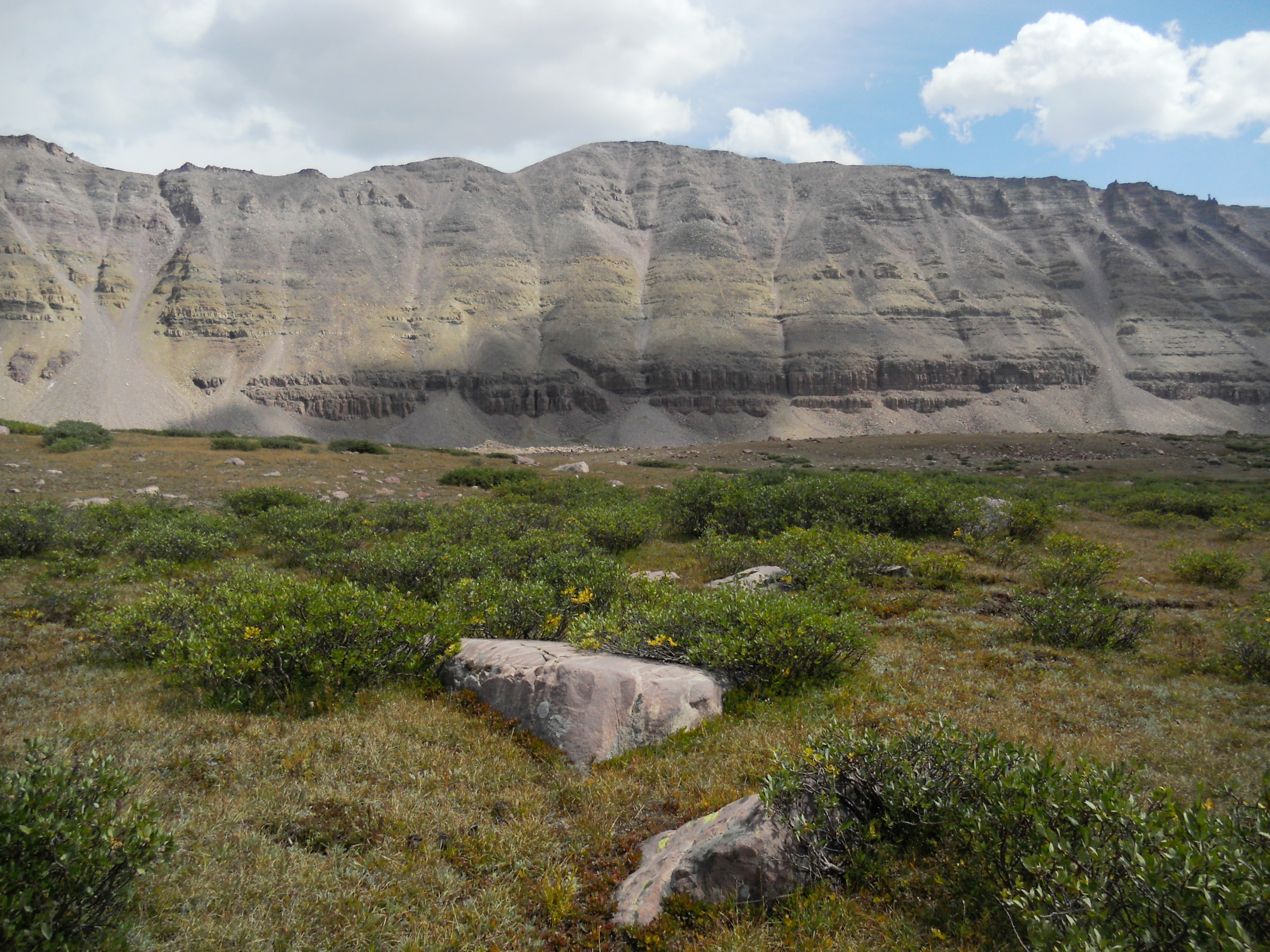
Description: South Kings Peak as viewed from the west. At an elevation of 13,512 ft (4118 m), South Kings Peak is the second highest summit in Utah. It is located in the High Uintas Wilderness within Ashley National Forest. The photo was taken from the Uinta Highline Trail in the Yellowstone Creek Basin.
Title: South Kings Peak, Uinta Mountains, Duchesne County, Utah, USA
Credit: Own work
Author: John Sowell
Usage Terms: Creative Commons Attribution-Share Alike 4.0
License: CC BY-SA 4.0
License Link: https://creativecommons.org/licenses/by-sa/4.0
Attribution Required?: Yes
Image usage
The following page links to this image:

All content from Kiddle encyclopedia articles (including the article images and facts) can be freely used under Attribution-ShareAlike license, unless stated otherwise.