South Kings Peak facts for kids
Quick facts for kids South Kings Peak |
|
|---|---|

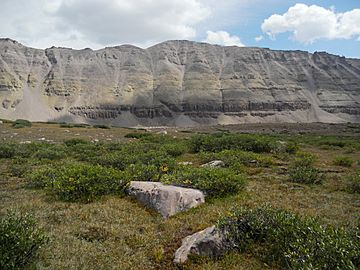
South Kings Peak viewed from the west
|
|
| Highest point | |
| Elevation | 13,518 ft (4,120 m) NAVD 88 |
| Prominence | 352 ft (107 m) |
| Geography | |
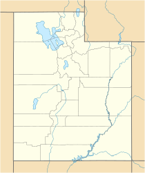
| Location | Duchesne County, Utah, U.S. |
| Parent range | Uinta Mountains |
| Topo map | USGS Mount Powell |
South Kings Peak is a very tall peak in Utah, United States. It is the second highest mountain in the entire state! Its top reaches about 13,518 feet (4,120 meters) into the sky. This makes it a truly impressive natural landmark.
About South Kings Peak
South Kings Peak is a famous part of the Uinta Mountains. These mountains are a large range located in northeastern Utah. The peak is found in Duchesne County. It is also inside the Ashley National Forest. This forest is a big area of protected land.
Where is South Kings Peak Located?
This tall peak sits just south of the main ridge of the central Uinta Mountains. It is in the northeastern part of Utah. The mountain is also within a special area called the High Uintas Wilderness. A wilderness area means the land is kept as natural as possible. People can visit, but they must protect the environment.
What Makes it Special?
Being the second highest peak in Utah makes South Kings Peak very important. It offers amazing views of the surrounding wilderness. The area around the peak is home to many plants and animals. Hikers and nature lovers often visit this beautiful region. They enjoy the challenge of the mountains and the peace of nature.


