
Image: South pole historical map

Size of this preview: 800 × 471 pixels. Other resolutions: 320 × 188 pixels | 1,354 × 797 pixels.
Original image (1,354 × 797 pixels, file size: 1.14 MB, MIME type: image/png)
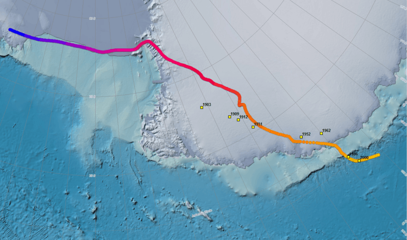
Description: Map showing the position of the south magnetic dip pole as it has wandered over the past four centuries.
Title: South pole historical map
Credit: https://www.ngdc.noaa.gov/geomag/GeomagneticPoles.shtml
Author: NOAA
Usage Terms: Public domain
License: Public domain
Attribution Required?: No
Image usage
The following page links to this image:

All content from Kiddle encyclopedia articles (including the article images and facts) can be freely used under Attribution-ShareAlike license, unless stated otherwise.