
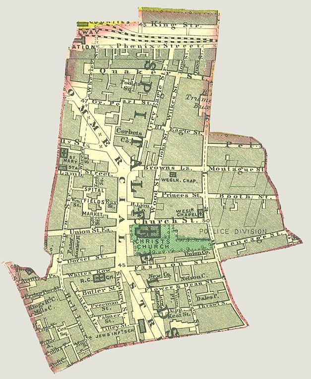
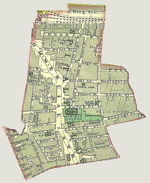
Image: Spitalfields Parish map 1885
Size of this preview: 491 × 599 pixels. Other resolutions: 197 × 240 pixels | 627 × 765 pixels.
Original image (627 × 765 pixels, file size: 155 KB, MIME type: image/jpeg)
Description: A map of the parish of Spitalfields c.1885 which has been cut out and scanned.
Title: Spitalfields Parish map 1885
Credit: Original publication: Street map of London Immediate source: A photocopy of an original map held in the library, borders highlighted, cut out and scanned by myself
Author: Unknown (Life time: 1885)
Usage Terms: Public domain
License: Public domain
Attribution Required?: No
Image usage
The following 2 pages link to this image:

All content from Kiddle encyclopedia articles (including the article images and facts) can be freely used under Attribution-ShareAlike license, unless stated otherwise.