
Image: St John's Church, Wakefield Road, Bowling, Bradford - geograph.org.uk - 669688
No higher resolution available.
St_John's_Church,_Wakefield_Road,_Bowling,_Bradford_-_geograph.org.uk_-_669688.jpg (640 × 514 pixels, file size: 46 KB, MIME type: image/jpeg)
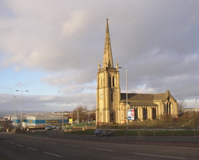
Description: View north across the A650 Wakefield Roat at Bowling, Bradford, West Yorkshire, with St John's parish church on the right
Title: St John's Church, Wakefield Road, Bowling, Bradford - geograph.org.uk - 669688
Credit: From geograph.org.uk
Author: Humphrey Bolton
Usage Terms: Creative Commons Attribution-Share Alike 2.0
License: CC BY-SA 2.0
License Link: https://creativecommons.org/licenses/by-sa/2.0
Attribution Required?: Yes
Image usage
The following page links to this image:

All content from Kiddle encyclopedia articles (including the article images and facts) can be freely used under Attribution-ShareAlike license, unless stated otherwise.