
Image: StroodWharfPierFrChurchWide

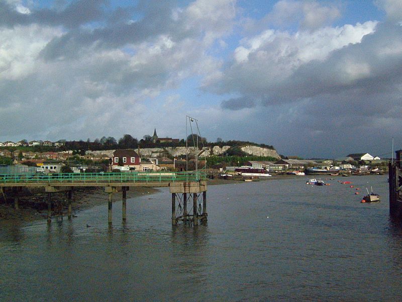
Description: Taken from the Strood Riverside Wharf, we see Strood Pier. Behind it is the Riverside Inn and Canal Road. To the left houses in Commissioners Road that climbs up to Frindsbury Hill (not shown). Above them is Church Green leading to Frindsbury All Saints Church on the chalk cliffs formed by Quarrying. Below the cliffs to the right is the Frindsbury Peninsula. We can see the ships on Phoenix Wharf- named after the Phoenix Cement Works now gone. Camera location 51° 23′ 42″ N, 0° 30′ 05.76″ E View this and other nearby images on: OpenStreetMap - Google Earth 51.395000; 0.501600
Title: StroodWharfPierFrChurchWide
Credit: Own work
Author: Clem Rutter, Rochester, Kent.
Usage Terms: Creative Commons Attribution 2.5
License: CC BY 2.5
License Link: http://creativecommons.org/licenses/by/2.5
Attribution Required?: Yes
Image usage
The following page links to this image:
