
Image: Sudan relief map

Size of this PNG preview of this SVG file: 684 × 600 pixels. Other resolution: 274 × 240 pixels.
Original image (SVG file, nominally 1,654 × 1,450 pixels, file size: 2.09 MB)
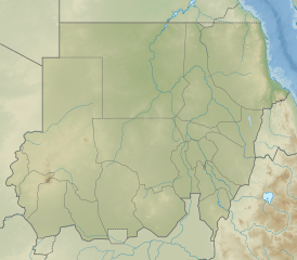
Description: Relief map of Sudan. Elevation data from STRM30, bathymetry from GMRT, rivers/coastline from GSHHG.
Title: Sudan relief map
Credit: Derivative of File:Sudan adm location map.svg
Author: Own work based on User:NordNordWest
Usage Terms: Creative Commons Attribution-Share Alike 3.0
License: CC BY-SA 3.0
License Link: https://creativecommons.org/licenses/by-sa/3.0
Attribution Required?: Yes
Image usage
The following 2 pages link to this image:

All content from Kiddle encyclopedia articles (including the article images and facts) can be freely used under Attribution-ShareAlike license, unless stated otherwise.