
Image: Swisstopo Eiger - Grindelwald
Size of this preview: 800 × 534 pixels. Other resolutions: 320 × 213 pixels | 1,537 × 1,025 pixels.
Original image (1,537 × 1,025 pixels, file size: 783 KB, MIME type: image/jpeg)
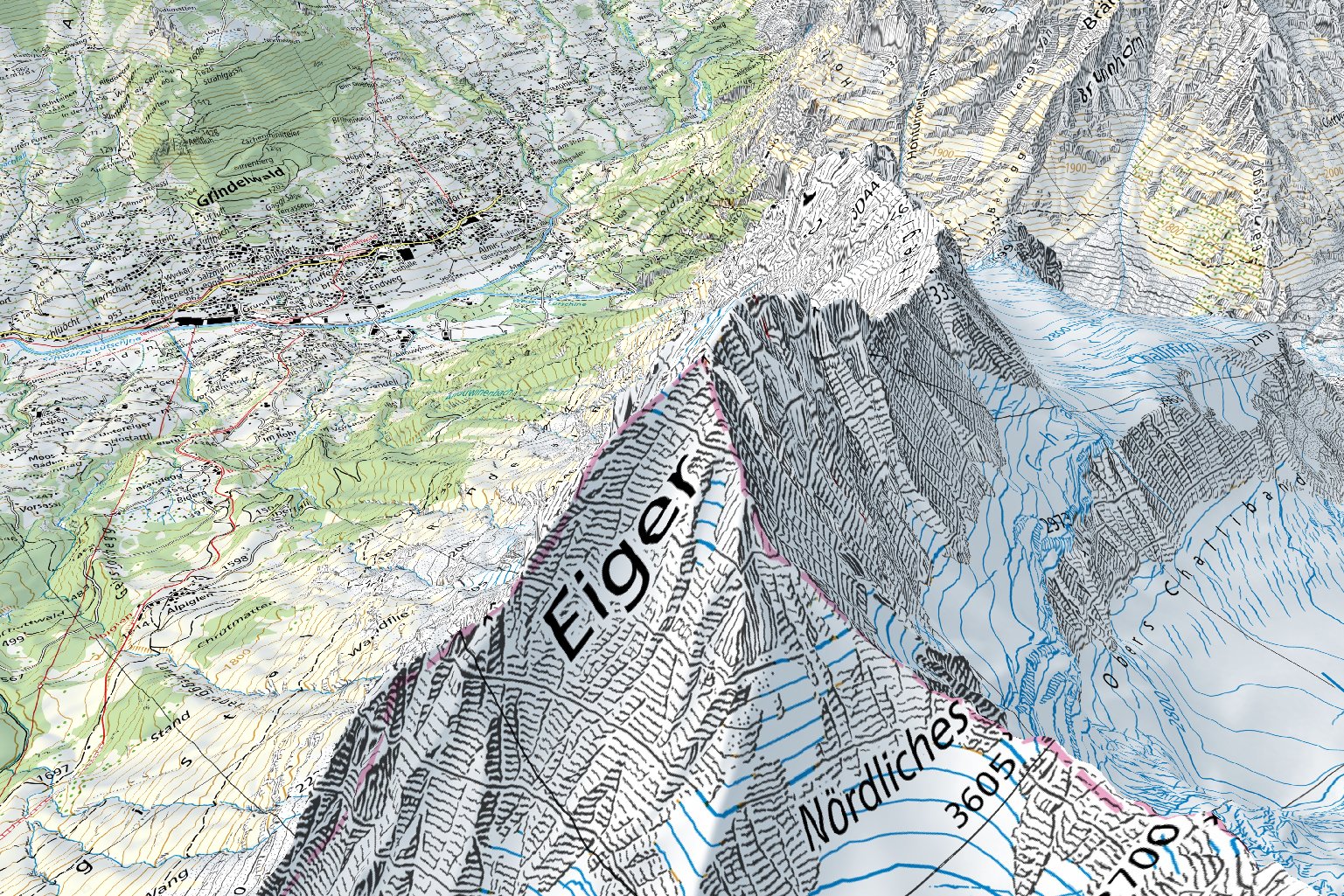
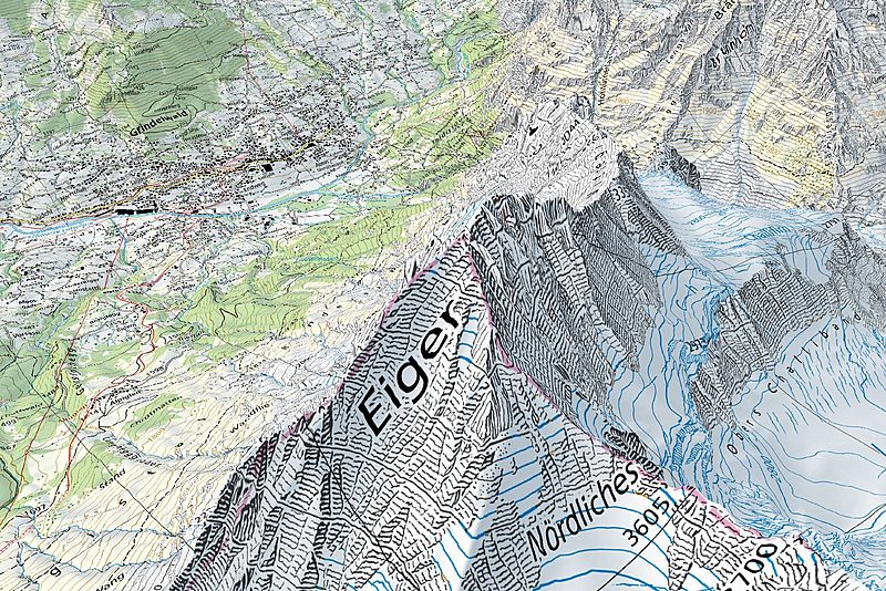
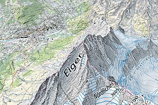
Description: Screen capture taken on the geographical portal map.geo.admin.ch, displaying the 1:25'000 Swiss national map along with terrain elevation (3D rendering). The map (centered on the Eiger) shows various terrain types (settlements, rivers, forests, open areas, rocks and glaciers) and elevations, from about 1,000 metres above sea level to about 4,000 metres above sea level.
Title: Swisstopo Eiger - Grindelwald
Credit: Geographical portal: map.geo.admin.ch 3D rendered 1:25'000 map: map.geo.admin.ch
Author: Bundesamt für Landestopografie swisstopo
Usage Terms: Attribution-Swisstopo
License: Attribution-Swisstopo
License Link: {{{tos_url}}}
Attribution Required?: Yes
Image usage
The following page links to this image:

All content from Kiddle encyclopedia articles (including the article images and facts) can be freely used under Attribution-ShareAlike license, unless stated otherwise.