
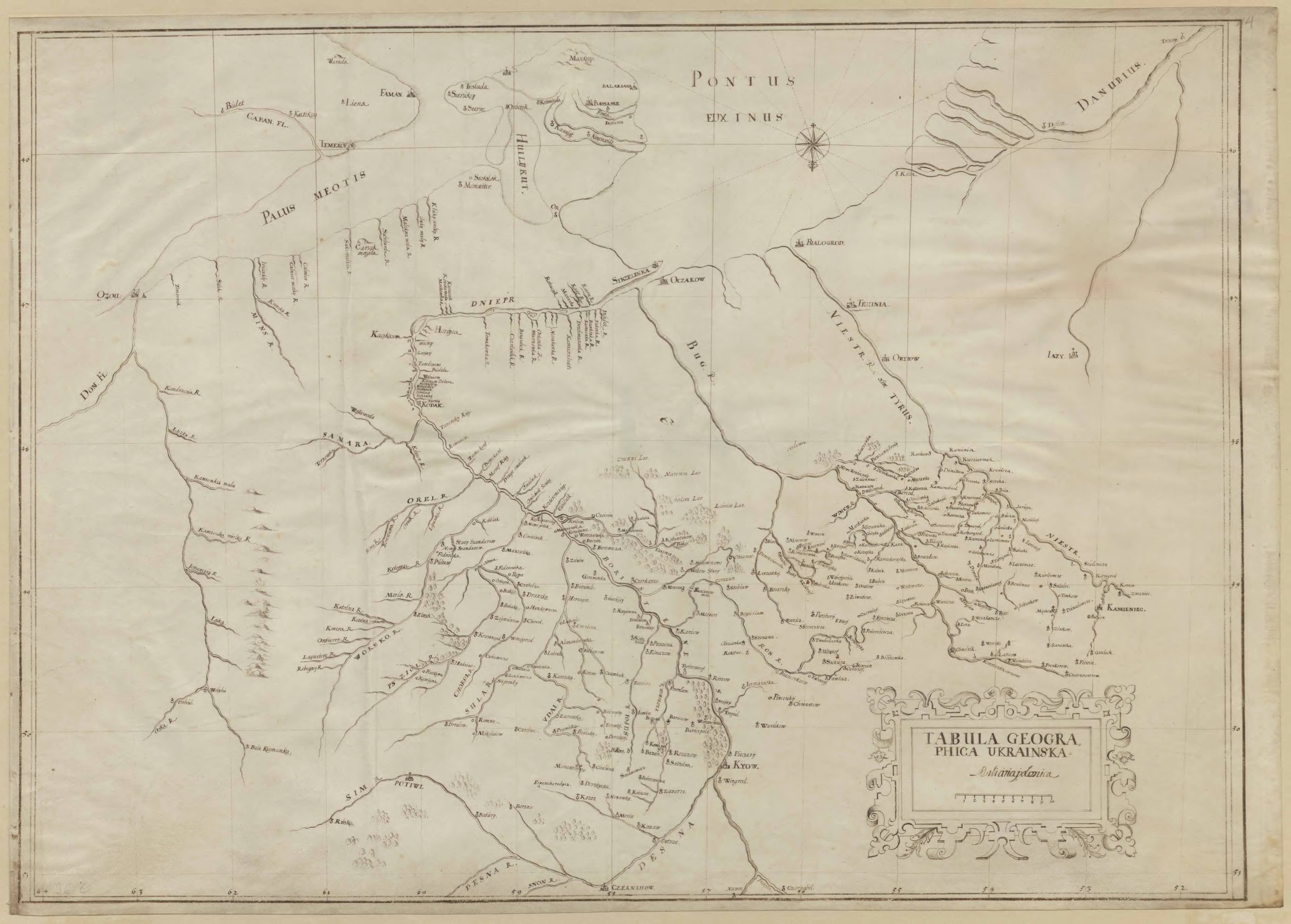
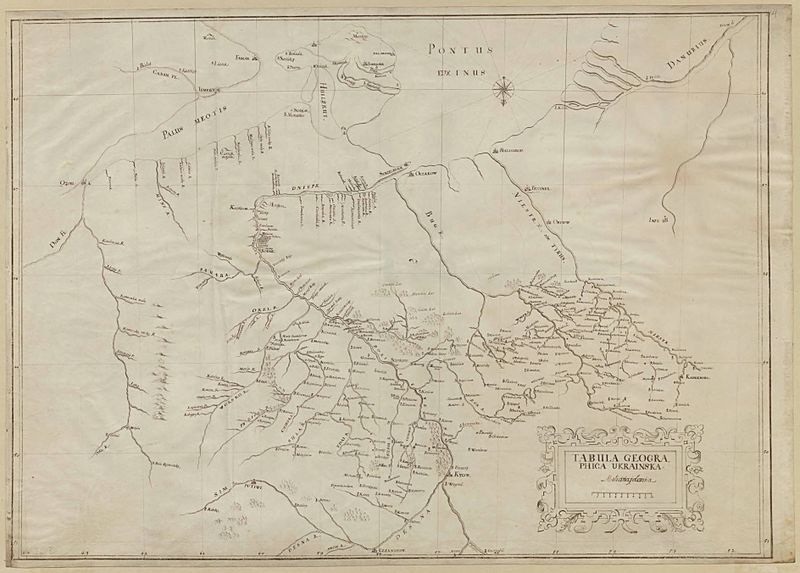
Image: Tabula Geographica Ukrainska
Size of this preview: 800 × 573 pixels. Other resolutions: 320 × 229 pixels | 7,552 × 5,408 pixels.
Original image (7,552 × 5,408 pixels, file size: 1.73 MB, MIME type: image/jpeg)
Description: Old map of (parts of) Ukraine
Title: Tabula Geographica Ukrainska
Credit: National Archives of Sweden
Author: Friedrich Getkant
Usage Terms: Public domain
License: Public domain
Attribution Required?: No
Image usage
The following page links to this image:

All content from Kiddle encyclopedia articles (including the article images and facts) can be freely used under Attribution-ShareAlike license, unless stated otherwise.