Guillaume Le Vasseur de Beauplan facts for kids
Guillaume Levasseur de Beauplan (around 1600 – 6 December 1673) was a French-Polish mapmaker, engineer, and architect. He is famous for creating some of the earliest and most detailed maps of Ukraine. He also wrote an important book describing the region.
Contents
Beauplan's Early Life and Military Work
Guillaume Levasseur de Beauplan was born in France around the year 1600. He later moved to Poland. From about 1630 to 1648, he worked as an artillery captain for the army of the Crown of the Kingdom of Poland.
Building Fortresses in Ukraine
During his time in the military, Beauplan was sent to Ukraine. He used his skills as an architect and engineer to help build and rebuild important structures. For example, in 1639, he helped fix up the Kodak Fortress. He also built a new fortress in a place called Bar. Beauplan also worked on Brody Castle and other buildings in Kremenchuk. These projects were very important for protecting the region.
Mapping Ukraine
Beauplan is best known for his amazing maps of Ukraine. He was one of the first people to create such detailed maps of this large area.
First Detailed Maps
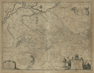
In 1639, Beauplan created what is considered the first "descriptive" map of Ukraine. This map showed not just the land, but also details about the area. He made an even more detailed map in 1648, which included clear border information.
Publishing His Maps
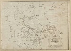
By 1654, Beauplan was working in Danzig. He created two more important maps. One was a very large map with a scale of 1:452,000. The other was a smaller map scaled at 1:1,800,000. Both of these maps were carved into plates by an artist named Willem Hondius. These maps were later published in Rouen, France. They were also copied by another mapmaker, Veniiamyn Kordt. In 1662, Beauplan published another special map focusing on the Dnieper River.
Writing About Ukraine
Besides making maps, Beauplan also wrote an important book about Ukraine. This book helped people learn a lot about the region.
Description d'Ukranie
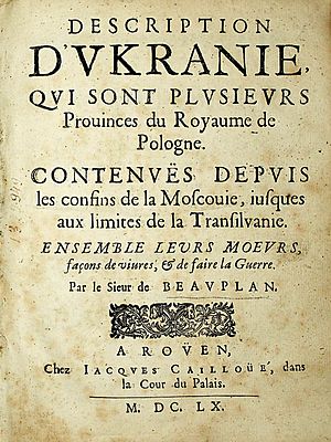
Beauplan first published his book in 1651. It was originally called Description des contrés du Royaume de Pologne. Later that same year, a second edition came out with a new title: Description d'Ukranie. More editions were published in 1660 and 1861.
This book was very important because it was the first one to describe Ukraine in such detail. It covered the geography, economy, and even the number of people living there. By 1832, the book had been translated into five different languages. It is still printed and read today. In the book, Beauplan described Ukraine as the land between Muscovy and Transylvania.
 | Frances Mary Albrier |
 | Whitney Young |
 | Muhammad Ali |


