
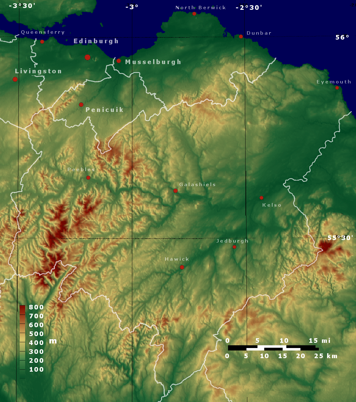
Image: Topo map Scottish Borders, Edinburgh, East Lothian, Midlothian
Size of this preview: 530 × 599 pixels. Other resolutions: 212 × 240 pixels | 1,160 × 1,311 pixels.
Original image (1,160 × 1,311 pixels, file size: 2.24 MB, MIME type: image/png)
Description: Map created with 3DEM from SRTM (http://dds.cr.usgs.gov/srtm/version2_1/SRTM3/).
Title: Topo map Scottish Borders, Edinburgh, East Lothian, Midlothian
Credit: Own work
Author: PawełS
Usage Terms: Creative Commons Attribution-Share Alike 3.0
License: CC BY-SA 3.0
License Link: http://creativecommons.org/licenses/by-sa/3.0
Attribution Required?: Yes
Image usage
The following page links to this image:

All content from Kiddle encyclopedia articles (including the article images and facts) can be freely used under Attribution-ShareAlike license, unless stated otherwise.