
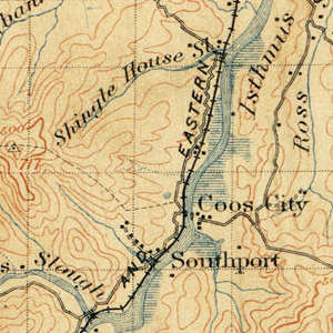
Image: Topographic map of Southport and Coos City, Oregon,1896
No higher resolution available.
Topographic_map_of_Southport_and_Coos_City,_Oregon,1896.jpg (300 × 300 pixels, file size: 148 KB, MIME type: image/jpeg)
Description: Topographic map showing Southport and Coos City, Oregon, dated 1896.
Title: Topographic map of Southport and Coos City, Oregon,1896
Credit: Original publication: United States Government publication Immediate source: http://ims.er.usgs.gov
Author: United States Geological Survey (Life time: N/A)
Usage Terms: Public domain
License: Public domain
Attribution Required?: No
Image usage
The following page links to this image:

All content from Kiddle encyclopedia articles (including the article images and facts) can be freely used under Attribution-ShareAlike license, unless stated otherwise.