
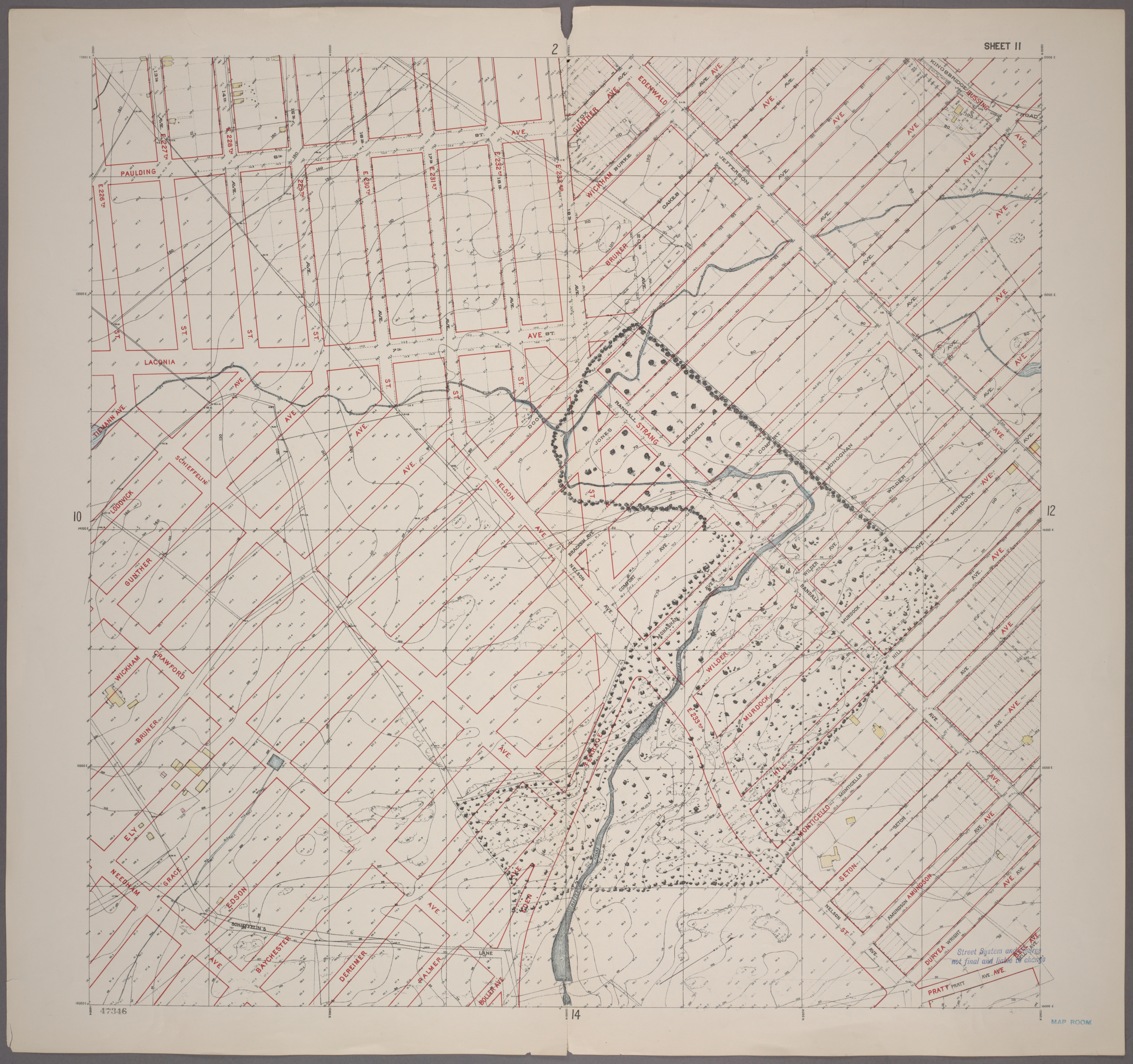
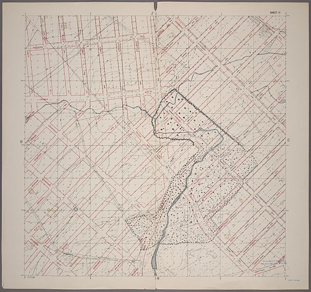
Image: Topographical survey sheets of the borough of the Bronx easterly of the Bronx River (1905) Sheet 11
Size of this preview: 638 × 599 pixels. Other resolutions: 255 × 240 pixels | 5,575 × 5,238 pixels.
Original image (5,575 × 5,238 pixels, file size: 26.14 MB, MIME type: image/jpeg)
Description: Sheet 11: Grid #12000E - 16000E, #11000N - 15000N. [Includes Murdock Avenue, Wilder Avenue, Rattlesnake Creek, Gunther Avenue, Wickham Avenue, Bruner Avenue,Ely Avenue, Edgewald (Wakefield), Edenwald Avenue, (Seton Falls Park upto Wilder Avenue) and (New York City Subway shops and Yards).]
Title: Topographical survey sheets of the borough of the Bronx easterly of the Bronx River (1905) Sheet 11
Credit: New York Public Library Digital Collections https://digitalcollections.nypl.org/items/510d47e2-58da-a3d9-e040-e00a18064a99
Author: Unknown authorUnknown author
Usage Terms: Public domain
License: Public domain
Attribution Required?: No
Image usage
The following page links to this image:

All content from Kiddle encyclopedia articles (including the article images and facts) can be freely used under Attribution-ShareAlike license, unless stated otherwise.
_Sheet_11.jpg)