
Image: Txu-pclmaps-topo-us-saint lawrence-1970
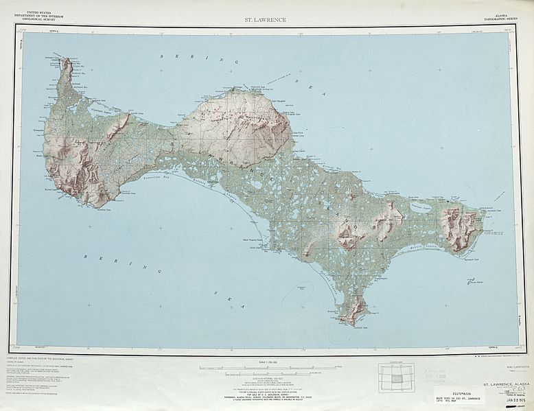
Size of this preview: 778 × 599 pixels. Other resolutions: 312 × 240 pixels | 5,957 × 4,589 pixels.
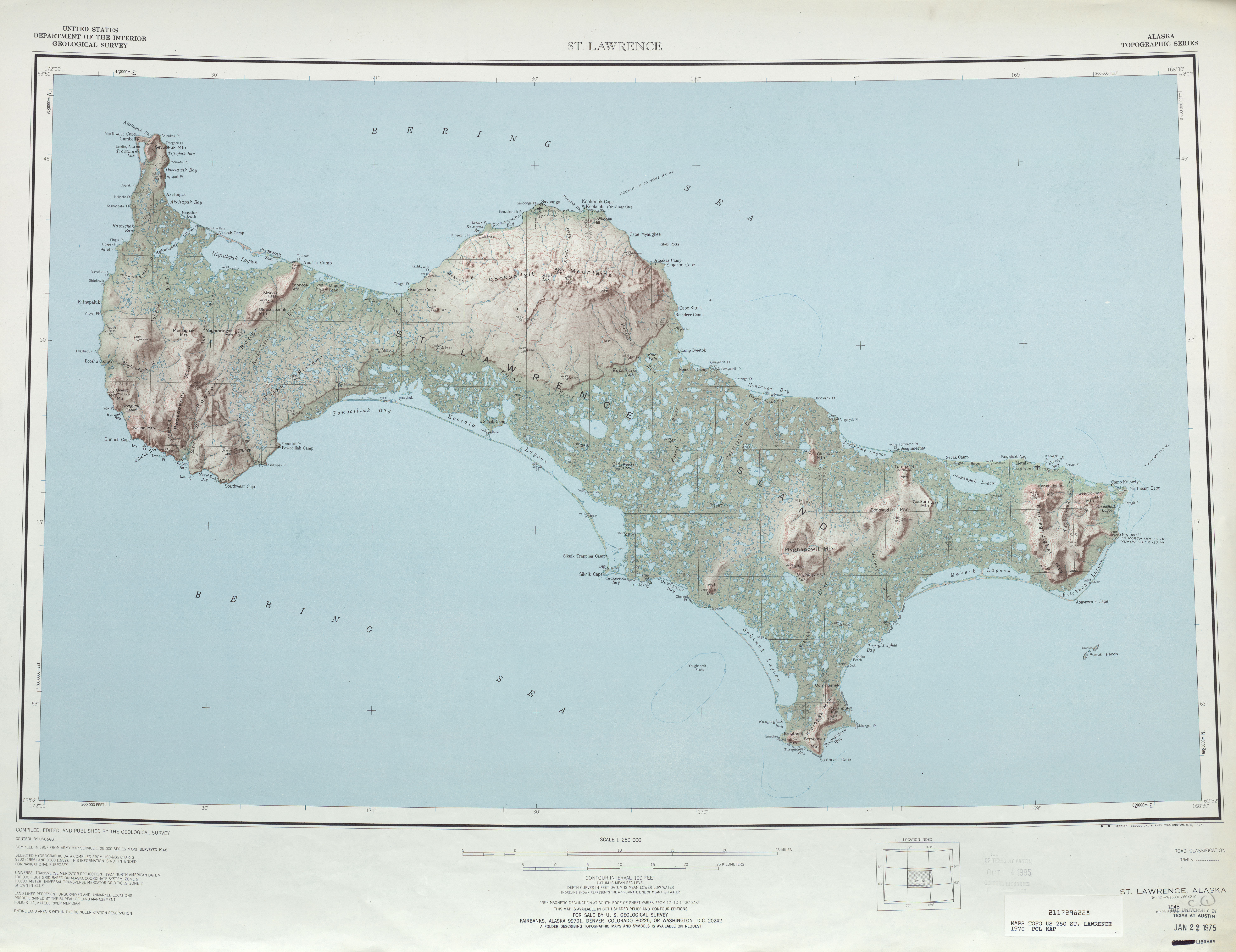
Original image (5,957 × 4,589 pixels, file size: 4.29 MB, MIME type: image/jpeg)
Description: map sheet of Saint Lawrence Island, Alaska
Title: Txu-pclmaps-topo-us-saint lawrence-1970
Credit: http://www.lib.utexas.edu/maps/topo/250k/txu-pclmaps-topo-us-saint_lawrence-1970.jpg
Author: US Geological Survey
Usage Terms: Public domain
License: Public domain
Attribution Required?: No
Image usage
The following page links to this image:

All content from Kiddle encyclopedia articles (including the article images and facts) can be freely used under Attribution-ShareAlike license, unless stated otherwise.