
Image: US NOAA nautical chart of Bering Strait
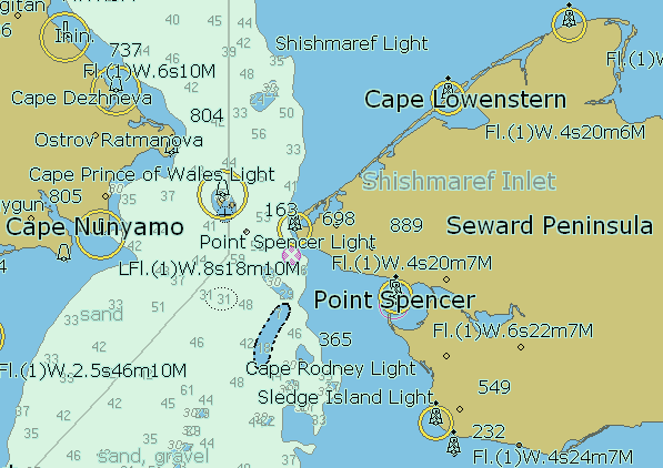
Description: Summary. Nautical map of Bering strait. This image was produced from ENC S-57 data supplied by the US NOAA Office of Coast Survey, chart US1BS03M, and is free from copyright. It is a pretty picture; it is not for navigation. Free software called SeeMyDEnc from SevenCs generated the depiction of the data.
Title: US NOAA nautical chart of Bering Strait
Permission: Licensing: This image is in the public domain because it contains materials that originally came from the U.S. National Oceanic and Atmospheric Administration, taken or made as part of an employee's official duties. Čeština | Deutsch | Zazaki | English | Español | Eesti | Suomi | Français | Magyar | Italiano | 日本語 | 한국어 | Македонски | മലയാളം | Plattdüütsch | Nederlands | Polski | Português | Română | Русский | Sicilianu | Slovenščina | Türkçe | 中文 | 中文(简体) | +/−
Usage Terms: Public domain
License: Public domain
Attribution Required?: No
Image usage
The following page links to this image:
