
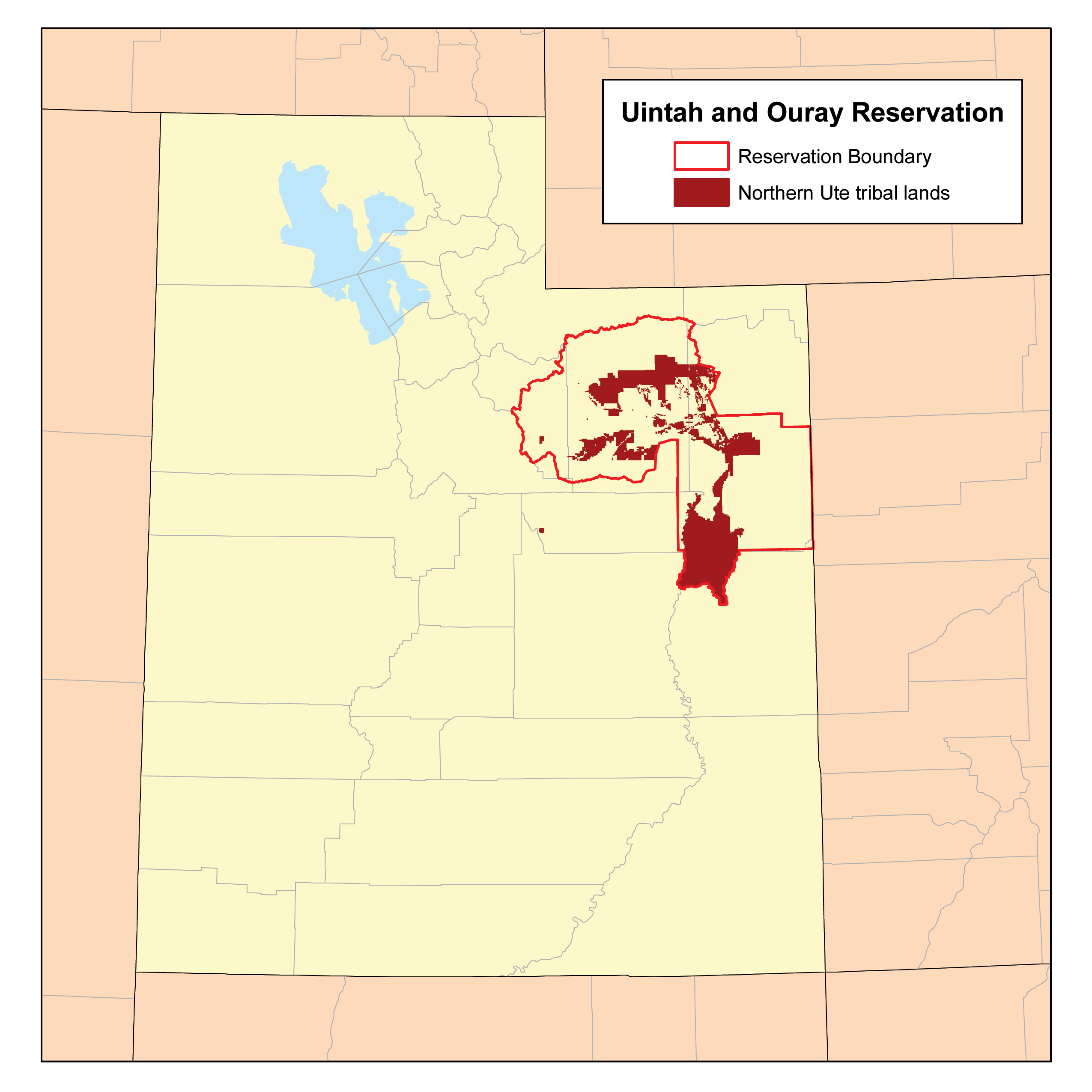
Image: UintahIRmap
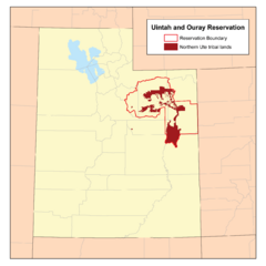
Size of this preview: 600 × 600 pixels. Other resolutions: 240 × 240 pixels | 2,550 × 2,550 pixels.
Original image (2,550 × 2,550 pixels, file size: 93 KB, MIME type: image/png)
Description: This is a map of the Uintah and Ouray Indian Reservation I made using National Atlas and BIA data.
Title: UintahIRmap
Credit: Own work
Author: Kmusser
Usage Terms: Creative Commons Attribution-Share Alike 2.5
License: CC BY-SA 2.5
License Link: https://creativecommons.org/licenses/by-sa/2.5
Attribution Required?: Yes
Image usage
The following 3 pages link to this image:

All content from Kiddle encyclopedia articles (including the article images and facts) can be freely used under Attribution-ShareAlike license, unless stated otherwise.