
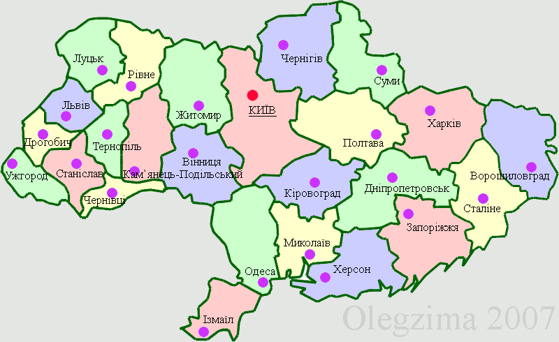
Image: Ukraine 1946-1954
No higher resolution available.
Ukraine_1946-1954.png (800 × 490 pixels, file size: 39 KB, MIME type: image/png)
Description: Map of division of Ukrainian SSR (Ukraine) in 1946-1954.
Title: Ukraine 1946-1954
Credit: Библиотека Конгресса США [1], CIA World Factbook[2], en:Wikipedia:Blank maps Image:BlankMap-World6.svg
Author: Olegzima
Usage Terms: Creative Commons Attribution-Share Alike 3.0
License: CC-BY-SA-3.0
License Link: http://creativecommons.org/licenses/by-sa/3.0/
Attribution Required?: Yes
Image usage
The following page links to this image:

All content from Kiddle encyclopedia articles (including the article images and facts) can be freely used under Attribution-ShareAlike license, unless stated otherwise.