
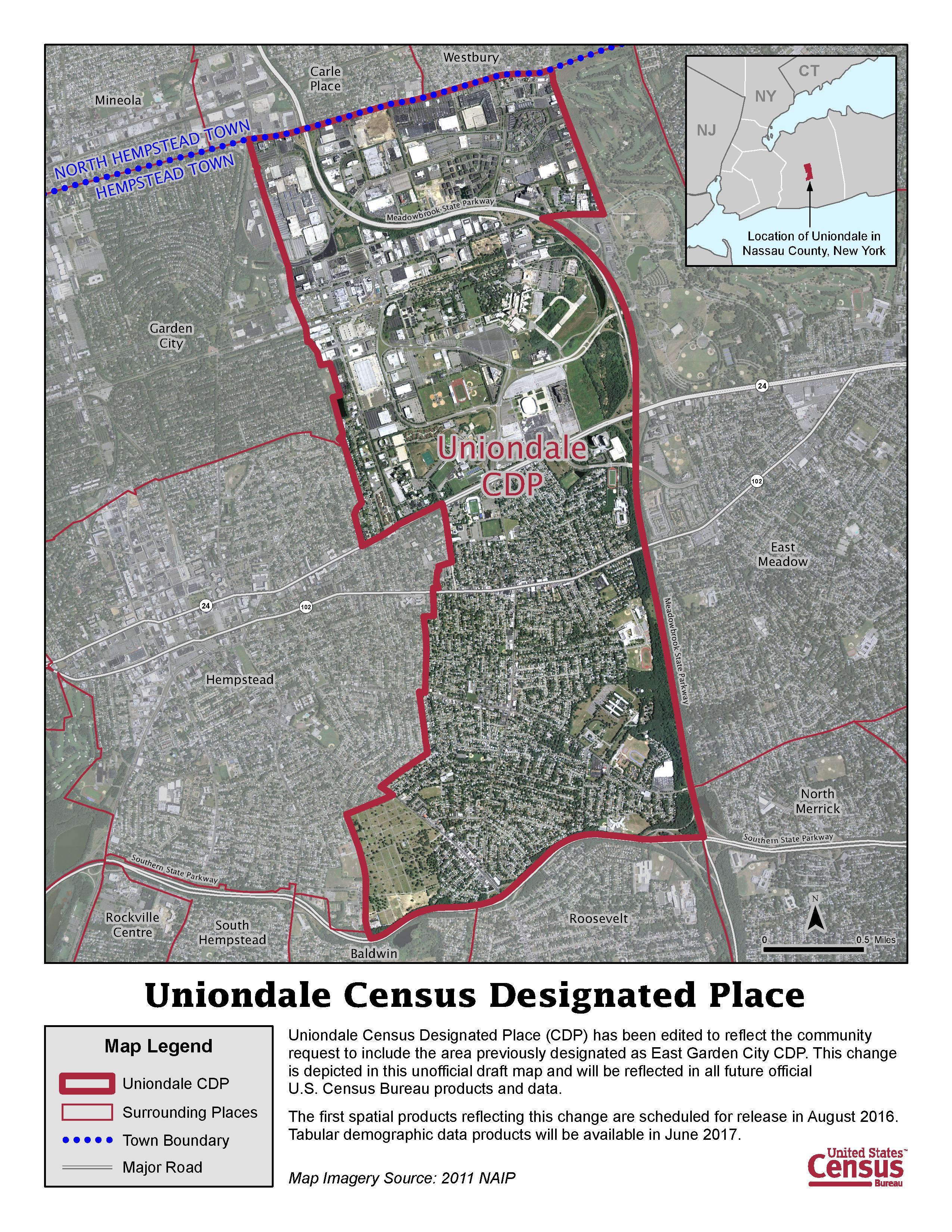
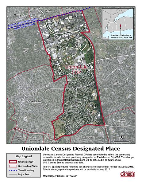
Image: Uniondale CDP Map 2015
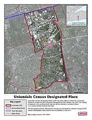
Size of this preview: 463 × 599 pixels. Other resolutions: 185 × 240 pixels | 2,550 × 3,300 pixels.
Original image (2,550 × 3,300 pixels, file size: 1.74 MB, MIME type: image/jpeg)
Description: Updated Uniondale, N.Y. map including area formally mislabeled as part of a fictional "East Garden City"
Title: Uniondale CDP Map 2015
Credit: U.S. Census Bureau
Author: Uniondale Chamber of Commerce
Usage Terms: Public domain
License: Public domain
Attribution Required?: No
Image usage
The following page links to this image:

All content from Kiddle encyclopedia articles (including the article images and facts) can be freely used under Attribution-ShareAlike license, unless stated otherwise.