
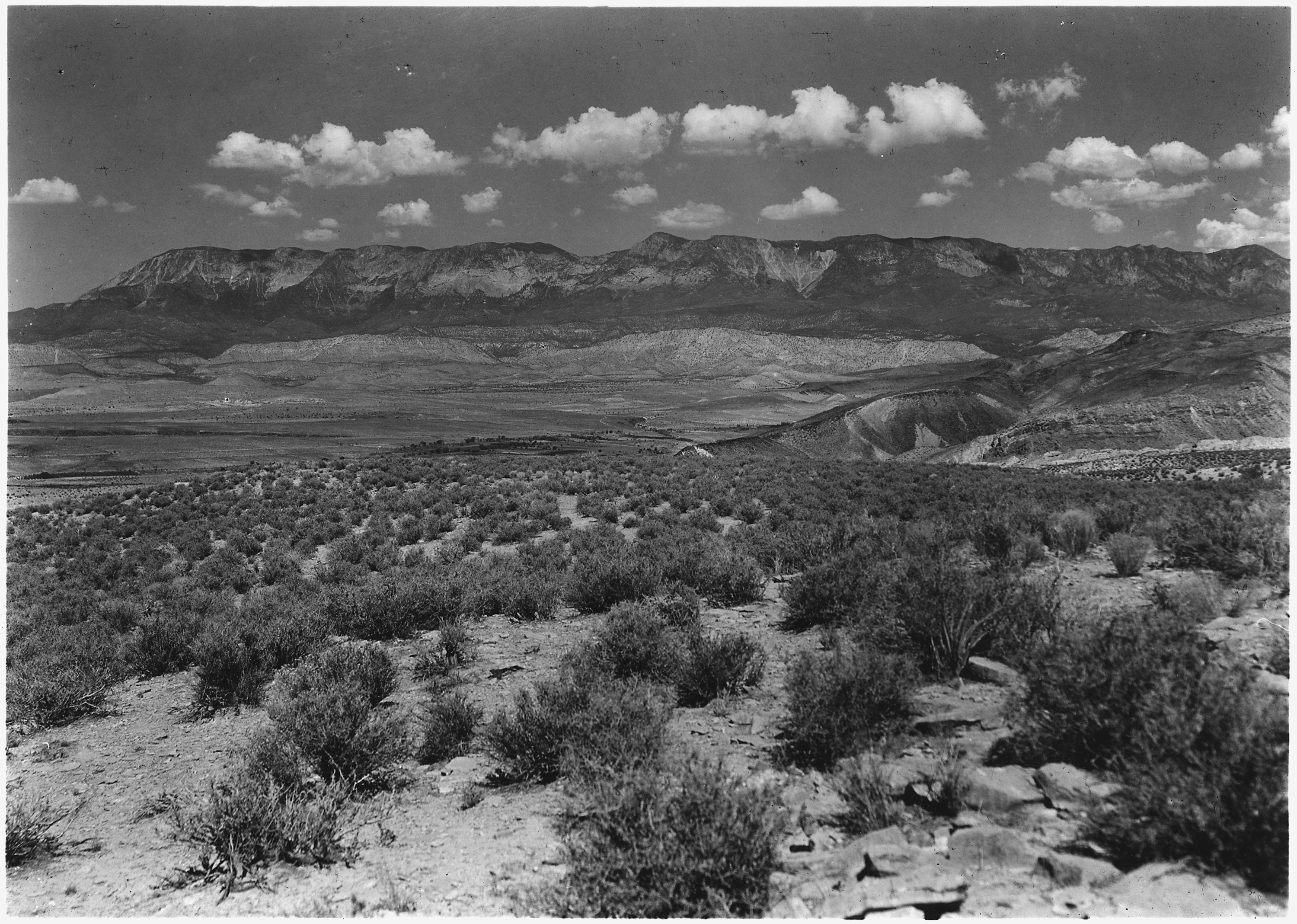
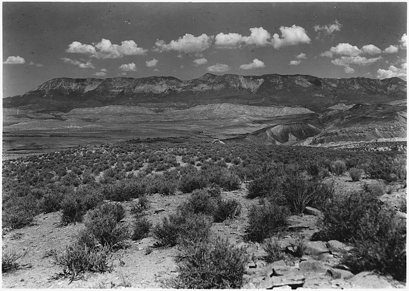
Image: View from top of Hurrican Fault (La Verkin Hill) showing Pine Valley Mountain in distance with Vermillion Cliff... - NARA - 520420
Size of this preview: 800 × 570 pixels. Other resolutions: 320 × 228 pixels | 3,000 × 2,137 pixels.
Original image (3,000 × 2,137 pixels, file size: 1.7 MB, MIME type: image/jpeg)
Title: View from top of Hurricane Fault (La Verkin Hill) showing Pine Valley Mountain in distance with Vermillion Cliff formation below. Same formation as Zion but much below on other side of Hurricane Fault. From main road between Anderson's Ranch (Zion Fork) and Zion, looking westward in the direction of Toquerville and Anderson's Ranch.
Credit: U.S. National Archives and Records Administration
Author: George A. Grant
Usage Terms: Public domain
License: Public domain
Attribution Required?: No
Image usage
The following page links to this image:

All content from Kiddle encyclopedia articles (including the article images and facts) can be freely used under Attribution-ShareAlike license, unless stated otherwise.
_showing_Pine_Valley_Mountain_in_distance_with_Vermillion_Cliff..._-_NARA_-_520420.jpg)