
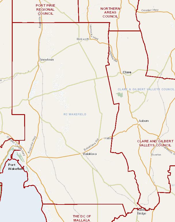
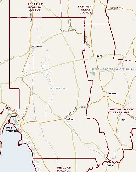
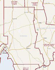
Image: Wakefield Regional Council map, 2015
Description: Map image of Wakefield Regional Council (local government body), South Australia, as at November 2015. Map generated by the Government of South Australia website's Property Land Browser tool.
Title: Wakefield Regional Council map, 2015
Credit: Government of South Australia website - Department of Environment, Water and Natural Resources (DEWNR) Property Land Browser tool
Author: Government of South Australia
Permission: Attribution Specification: The Property Land Browser map tool is a part of the The Government of South Australia website. The Government of South Australia website is licensed under a Creative Commons Attribution 3.0 Australia Licence.
Usage Terms: Creative Commons Attribution 3.0 au
License: CC BY 3.0 au
License Link: http://creativecommons.org/licenses/by/3.0/au/deed.en
Attribution Required?: Yes
Image usage
The following page links to this image:
