
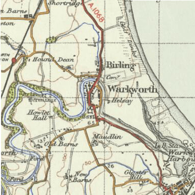
Image: Warkworth 1945 OS map
No higher resolution available.
Warkworth_1945_OS_map.png (383 × 384 pixels, file size: 268 KB, MIME type: image/png)
Description: OS map of Warkworth in 1945. Scale 1:63360 (ie: one inch to one mile)
Title: Warkworth 1945 OS map
Credit: Ordnance Survey New Popular Edition, sheet 71 – Alnwick. Published by the Ordnance Survey of Great Britain in 1945, hosted by Vision of Britain
Author: Ordnance Survey of Great Britain
Usage Terms: Public domain
License: Public domain
Attribution Required?: No
Image usage
The following page links to this image:

All content from Kiddle encyclopedia articles (including the article images and facts) can be freely used under Attribution-ShareAlike license, unless stated otherwise.