
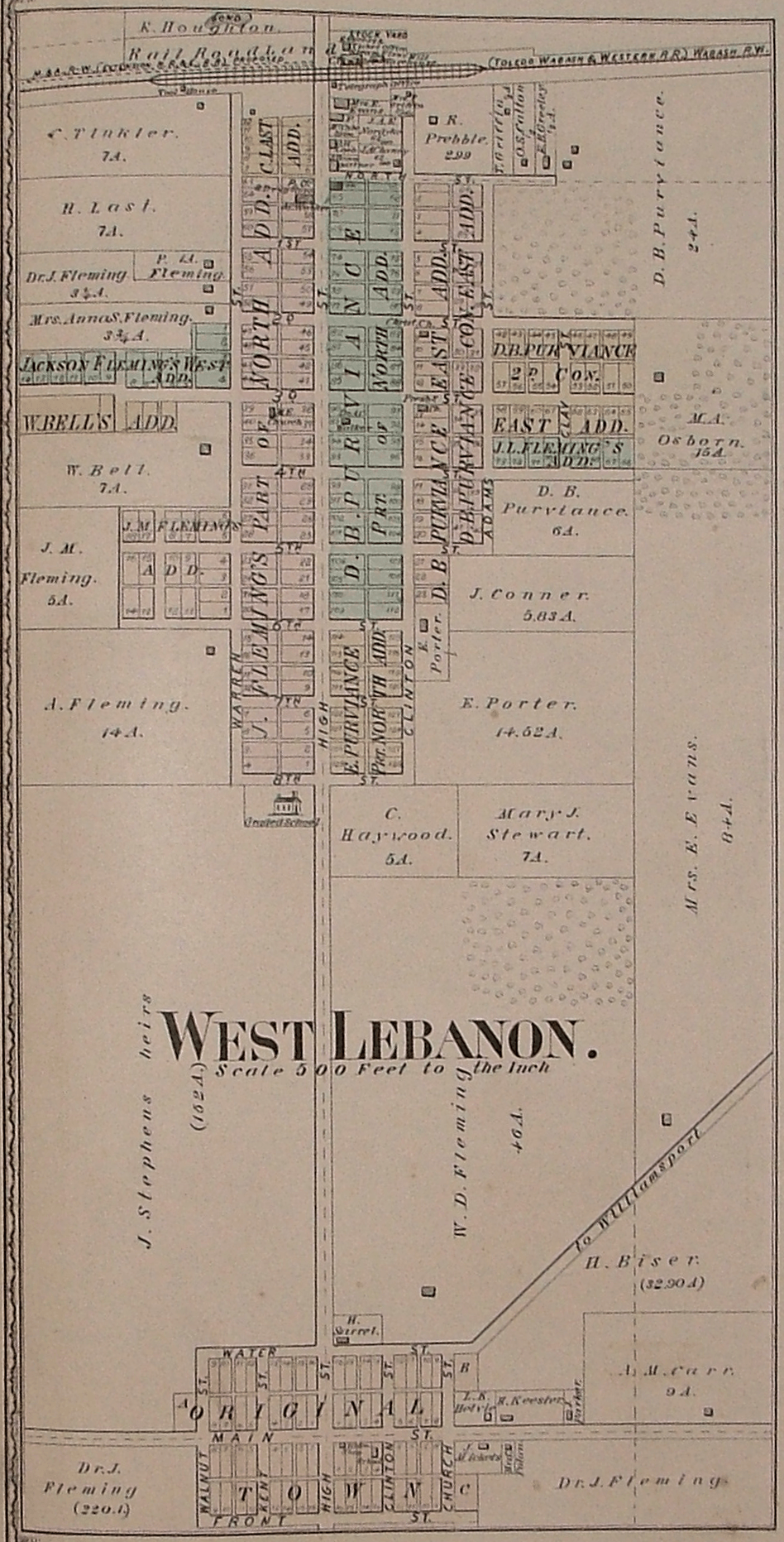
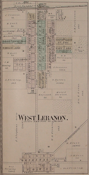
Image: West Lebanon, Indiana map from 1877 atlas
Size of this preview: 305 × 599 pixels. Other resolutions: 122 × 240 pixels | 948 × 1,863 pixels.
Original image (948 × 1,863 pixels, file size: 2.73 MB, MIME type: image/png)
Description: A map of the town of West Lebanon, Indiana
Title: West Lebanon, Indiana map from 1877 atlas
Credit: Atlas of Warren County, Indiana
Author: J. H. Beers and Company, Chicago
Usage Terms: Public domain
License: Public domain
Attribution Required?: No
Image usage
The following page links to this image:

All content from Kiddle encyclopedia articles (including the article images and facts) can be freely used under Attribution-ShareAlike license, unless stated otherwise.