
Image: WinterHillLOCmap
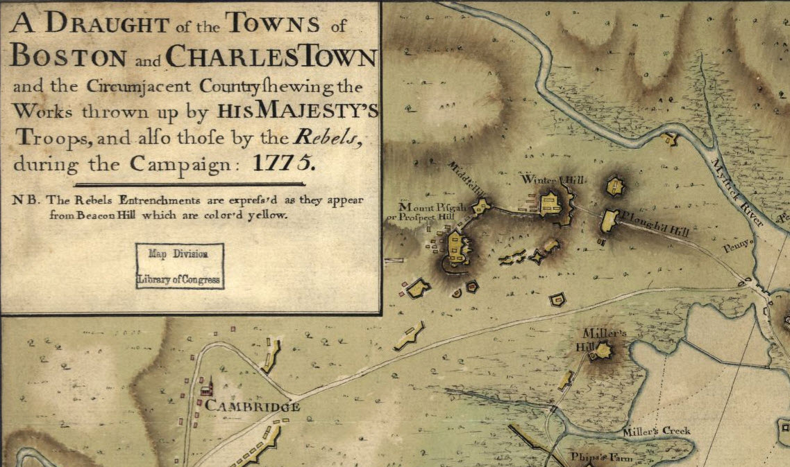
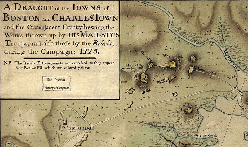
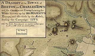
Description: A portion of a map from 1775 highlighting the Winter Hill area of what is now Somerville MA. The complete map can be found in the Library of Congress: “A draught of the towns of Boston and Charles Town and the circumjacent country shewing the works thrown up by His Majesty’s troops, and also those by the rebels, during the campaign: 1775.” http://www.loc.gov/item/gm%2071000916
Title: WinterHillLOCmap
Credit: This map is available from the United States Library of Congress's Geography & Map Division under the digital ID g3764b.ar090600. This tag does not indicate the copyright status of the attached work. A normal copyright tag is still required. See Commons:Licensing for more information. العربية | čeština | Deutsch | English | español | فارسی | suomi | français | magyar | italiano | македонски | മലയാളം | Nederlands | polski | português | русский | slovenčina | slovenščina | Türkçe | українська | 中文 | 中文(简体) | 中文(繁體) | +/−
Author: John Montresor
Usage Terms: Public domain
License: Public domain
Attribution Required?: No
Image usage
The following page links to this image:
