
Image: World-airline-routemap-2009
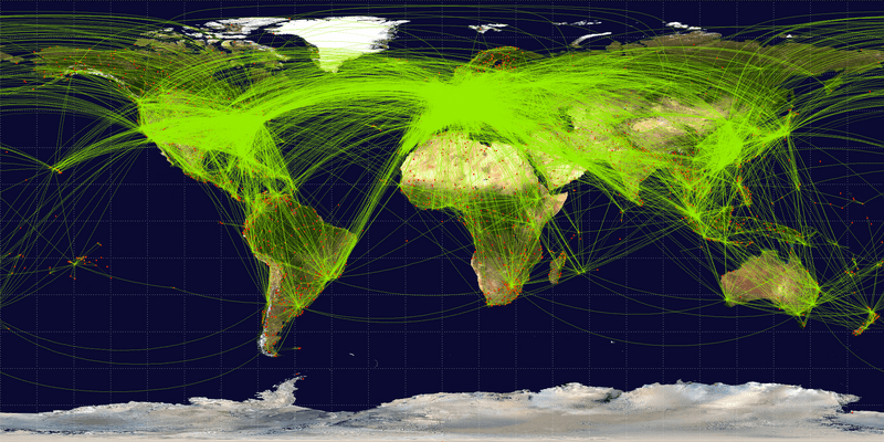
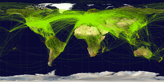
Size of this preview: 800 × 400 pixels. Other resolutions: 320 × 160 pixels | 2,048 × 1,025 pixels.
Original image (2,048 × 1,025 pixels, file size: 2.43 MB, MIME type: image/png)
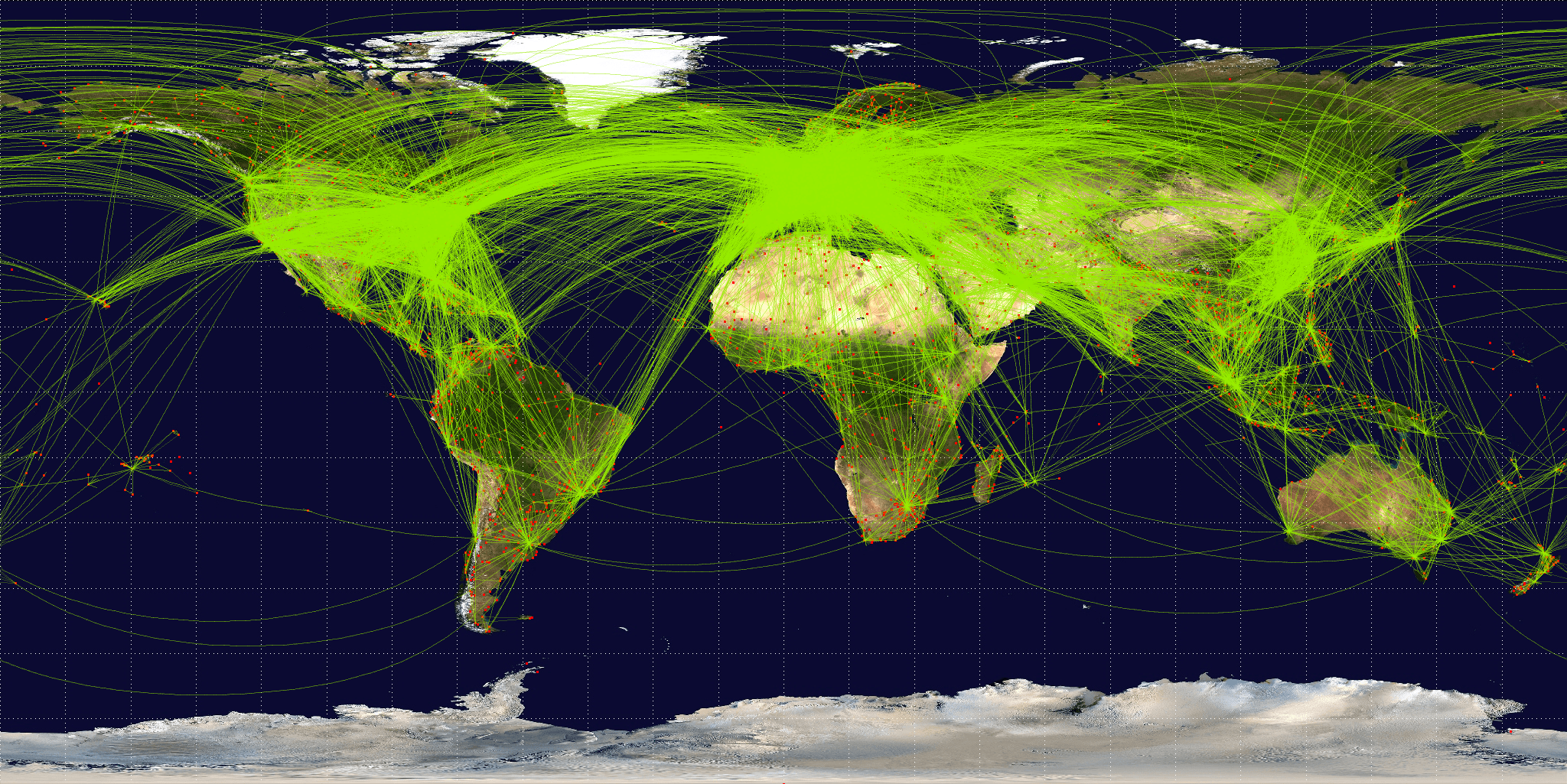
Description: Map of scheduled airline traffic around the world, circa June 2009. Contains 54317 routes, rendered at 25% transparency. Base map is NASA Blue Marble (PD) plus airports from file:World-airport-map-2008.png, route data is from Airline Route Mapper, rendering by OpenFlights (Open Database License). PHP source code for rendering available at the OpenFlights SVN.
Title: World-airline-routemap-2009
Credit: Own work
Author: Jpatokal
Usage Terms: Creative Commons Attribution-Share Alike 3.0
License: CC BY-SA 3.0
License Link: http://creativecommons.org/licenses/by-sa/3.0
Attribution Required?: Yes
Image usage
The following 2 pages link to this image:

All content from Kiddle encyclopedia articles (including the article images and facts) can be freely used under Attribution-ShareAlike license, unless stated otherwise.