La Palmera, San Carlos facts for kids
Quick facts for kids
La Palmera
|
|
|---|---|
|
District
|
|
| Country | |
| Province | Alajuela |
| Canton | San Carlos |
| Creation | 5 February 1952 |
| Area | |
| • Total | 100.45 km2 (38.78 sq mi) |
| Elevation | 350 m (1,150 ft) |
| Population
(2011)
|
|
| • Total | 6,321 |
| • Density | 62.927/km2 (162.980/sq mi) |
| Time zone | UTC−06:00 |
| Postal code |
21009
|
La Palmera is a special area called a district in Costa Rica. It's part of the San Carlos region, which is in the Alajuela province.
Contents
History of La Palmera
La Palmera became an official district on February 5, 1952. This happened because of a special government decision.
Exploring La Palmera's Geography
La Palmera covers an area of about 100.45 square kilometers. This makes it the eleventh largest district in its region. The land here is generally about 350 meters above sea level.
The district's elevation changes quite a bit. It ranges from 100 meters up to 2200 meters above sea level.
Where is La Palmera Located?
La Palmera is in the northern part of Costa Rica. It shares its borders with several other districts. To the north, it borders Cutris. To the east, you'll find Aguas Zarcas. To the west, it borders Florencia and Quesada.
To the south, La Palmera borders the Sarchí region. The main town of La Palmera is about 19.4 kilometers northeast of Ciudad Quesada. It's also about 106 kilometers northwest of San Jose, which is the capital city of Costa Rica.
People of La Palmera
| Historical population | |||
|---|---|---|---|
| Census | Pop. | %± | |
| 1963 | 1,918 | — | |
| 1973 | 2,432 | 26.8% | |
| 1984 | 2,844 | 16.9% | |
| 2000 | 4,608 | 62.0% | |
| 2011 | 6,321 | 37.2% | |
|
Instituto Nacional de Estadística y Censos |
|||
In 2011, a census counted the people living in La Palmera. There were 6,321 residents at that time. This made La Palmera the tenth most populated district in its region.
It had fewer people than places like Quesada, Aguas Zarcas, Pital, La Fortuna, Florencia, Pocosol, and Cutris.
Getting Around La Palmera
Road Connections
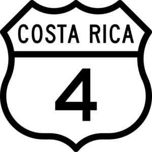
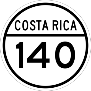
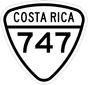
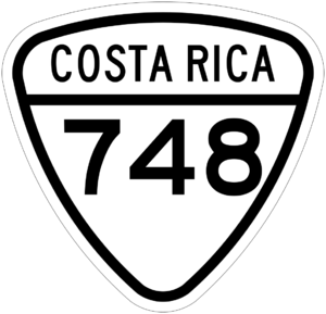
Several important roads pass through La Palmera. These roads help people travel and transport goods.
- National Route 4
- National Route 140
- National Route 747
- National Route 748
Towns and Communities
La Palmera is home to six different communities or population centers.
- La Palmera (this is the main town of the district)
- La Marina
- Santa Rosa
- Concepción
- San Francisco
- La Unión
La Palmera's Economy
The main way people make a living in La Palmera is through raising farm animals, like cows. This is called livestock farming.
People also grow different crops. These include citrus fruits, sugar cane, and root vegetables like potatoes or yams. There is also some mining for calcium carbonate.
Tourism and Services
La Palmera also offers services for visitors. In the area of La Marina, you can find places for tourists. There are also natural hot springs, which are shared with the nearby Aguas Zarcas district. These hot springs let people enjoy the beautiful nature of the area.
The main town of La Palmera has important services for its residents. These include health services, schools, restaurants, and grocery stores.
See also
 In Spanish: La Palmera (San Carlos) para niños


