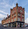
List of listed buildings in Glasgow/6 facts for kids
A listed building is a special kind of building that is protected by law because it's important to a country's history or architecture. In Scotland, these buildings are picked out by a group called Historic Environment Scotland. They are given different categories to show how important they are:
- Category A: These are buildings that are super important, like famous castles or very old churches. They are the best examples of a certain type of building, a special time in history, or the work of a famous architect.
- Category B: These buildings are also very important, but maybe not as much as Category A. They are good examples of a certain style or period, or they might be linked to important local history.
- Category C(S): These buildings are important too, but usually less so than A or B. They might be good examples of a common building type or have some local historical interest.
Protecting these buildings means that people can't change them too much without getting special permission. This helps make sure that future generations can also enjoy and learn from these amazing places.
Contents
- Famous Listed Buildings in Glasgow
- Historic Schools and Public Buildings
- Important Churches and Religious Buildings
- St Mary Immaculate RC Church War Memorial
- St Alphonsus RC Church And Presbytery
- Bridgeton Free Church And Hall
- St Margaret's Polmadie Church
- St Agnes Church (Roman Catholic)
- Calton Parkhead Church
- St Alberts' Roman Catholic Church And Hall
- Former St Jude's Church
- Barony Church
- Glasgow Evangelical Church
- Historic Industrial and Commercial Buildings
- Unique and Special Buildings
- Pollokshaws West Station
- People's Palace Museum And Winter Garden
- Glasgow Green, Weir And Pipe Bridge
- Winter Gardens, Springburn Park
- Glasgow Harbour Tunnel Rotunda
- Palace Of Art
- Crookston Castle
- Haggs Castle
- Citizens Theatre
- Govan Town Hall
- Pearce Institute
- Royal Scottish Automobile Club
- Former Athenaeum Theatre
- The Salon
- Partick Burgh Halls
- Hillhead Baptist Church
- Glasgow Queen Street Station
- Duke Of Wellington Statue
- Glasgow City Chambers
- Bridge Of Sighs
- Britannia Panopticon Music Hall
- Royal Infirmary
- Bank Of Scotland (St Vincent Street)
- Former Caledonia Road UP Church
- University of Glasgow Memorial Gates
- Images for kids
- Key
- See also
Famous Listed Buildings in Glasgow
Glasgow is a city in Scotland with many amazing old buildings. Here are some of the most interesting ones that are protected as listed buildings:
Historic Schools and Public Buildings
Glasgow has many schools and public buildings that are listed because of their history and design.
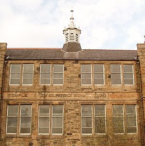
Temple Primary School
Located at 6 Spencer Street, Temple Primary School is a Category C(S) listed building. This means it's a good example of its type and has local historical importance. It includes its boundary walls, gates, and railings, which are also protected.
Golfhill Public School
Golfhill Public School, found at 1 and 13 Circus Drive, is a Category B listed building. This school, along with its janitor's lodge, gates, and railings, is considered a significant example of its architectural style.
Hutcheson Town Public Library
The Hutcheson Town Public Library at 192 Mcneil Street is a Category B listed building. It's now used as a day nursery, but its original design and history make it important.
Possilpark Library
At 127 Allander Street, Possilpark Library is a Category B listed building. Libraries are often important community hubs, and this one has historical value.
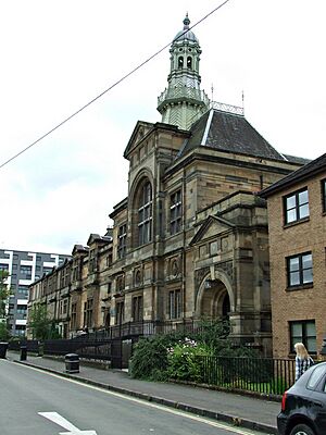
Springburn Library And Museum
The Springburn Library and Museum at 179 Ayr Street is another Category B listed building. It's a place where people can learn about the past and enjoy books, and its building itself is a piece of history.
Drumoyne Primary School
Drumoyne Primary School, located at 200 Shieldhall Road, is a Category B listed building. Its janitor's lodge, gatepiers, and boundary walls are also protected.
Royston School
Formerly known as St Rollox School, Royston School at 102 Royston Road is a Category B listed building. It has been an important part of the community's education for many years.
Important Churches and Religious Buildings
Glasgow has many beautiful churches that are listed buildings, showing different styles of architecture and religious history.
St Mary Immaculate RC Church War Memorial
On Shawhill Road, the War Memorial at St Mary Immaculate RC Church is a Category B listed building. War memorials are important because they help us remember brave people from the past.
St Alphonsus RC Church And Presbytery
St Alphonsus RC Church and Presbytery at 217 London Road and 18, 20 Stevenson Street is a Category B listed building. Churches often have beautiful designs and are central to their communities.
Bridgeton Free Church And Hall
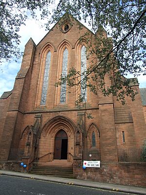
The Bridgeton Free Church and Hall at 231 Dalmarnock Road is a Category B listed building. It's a significant example of a church from its time.
St Margaret's Polmadie Church
Located at 110 Polmadie Road, St Margaret's Polmadie Church, along with its halls and manse (the minister's house), is a Category B listed building.
St Agnes Church (Roman Catholic)
At 694 Balmore Road, St Agnes Church (Roman Catholic) is a Category B listed building. Its gatepiers, boundary walls, and railings are also protected.
Calton Parkhead Church
Calton Parkhead Church, including its hall, boundary wall, gates, and railings, is a Category B listed building at 122 Helenvale Street.
St Alberts' Roman Catholic Church And Hall
St Alberts' Roman Catholic Church and Hall at 149-153 Albert Drive is a Category B listed building.
Former St Jude's Church
The former St Jude's Church at 278 West George Street is a Category B listed building, recognized for its architectural importance even though it's no longer a church.
Barony Church
The Barony Church at 6 Rottenrow East is a very important Category A listed building. It includes its church hall, war memorial, retaining wall, railings, and gatepiers.
Glasgow Evangelical Church
The Glasgow Evangelical Church, formerly the Barony North Church, at 20 Cathedral Square, is a Category A listed building. Its boundary walls and railings, and the church house at 14 Cathedral Square, are also protected.
Historic Industrial and Commercial Buildings
Glasgow was a major industrial city, and many of its old factories and commercial buildings are now listed.
Weir Pumps Ltd Cathcart Works
The offices and amenity building of Weir Pumps Ltd Cathcart Works at 147-149 Newlands Road are a Category B listed building. This shows the importance of Glasgow's industrial past.
Templeton Carpet Factory
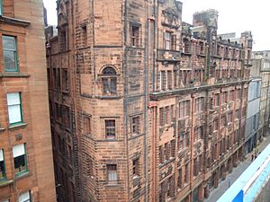
The Templeton Carpet Factory at 62 Templeton Street is a Category A listed building, meaning it's one of the most important examples of industrial architecture in Scotland. Its unique design makes it stand out.
Sentinel Works
At 61 Jessie Street, Sentinel Works is a Category A listed building. This factory is a top example of industrial heritage.
Former Possil Goods Shed
The former Possil Goods Shed at 445 Balmore Road is a Category C(S) listed building. Goods sheds were important for moving things around by train.
Former Glasgow Herald Building
The former Glasgow Herald Building at 60-76 Mitchell Street is a Category A listed building. It's now known as The Lighthouse, Scotland's Centre for Architecture and Design.
Former Eglinton Engine Works
The former Eglinton Engine Works at 27-117 Cook Street (Westbridge Gardens) and 181 and 183 West Street is a Category A listed building. This shows Glasgow's history as a center for engineering.
Kinning Park Colour Works
At 73 Milnpark Street, the Kinning Park Colour Works is a Category B listed building. This building was once used for making colors and dyes.
Former Subway Power Station
The former Subway Power Station at 173 Scotland Street is a Category B listed building. It once powered Glasgow's underground railway system.
Former Waterloo Street Post Office
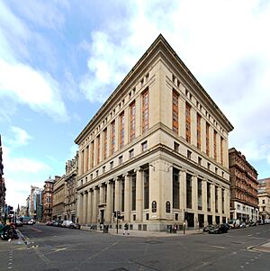
The former Waterloo Street Post Office and Parcels Office at 50 Waterloo Street with 81 Wellington Street is a Category A listed building. It's a very important example of a historic post office.
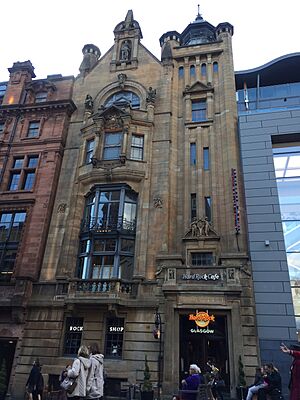
Buck's Head Buildings
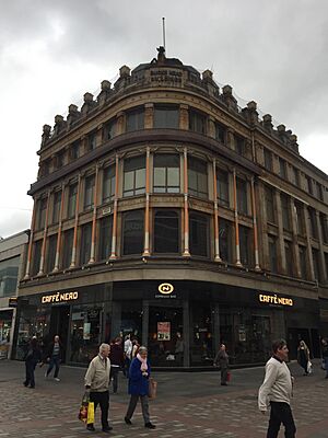
The Buck's Head Buildings at 63 Argyle Street are a Category A listed building. This building is a significant part of Glasgow's commercial history.
Unique and Special Buildings
Some listed buildings in Glasgow are unique or serve a very specific purpose.
Pollokshaws West Station
Pollokshaws West Station on Pollokshaws Road, including its embankment wall to the street, is a Category B listed building. Railway stations are important parts of transport history.
People's Palace Museum And Winter Garden
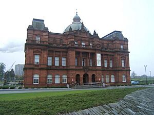
The People's Palace Museum and Winter Garden at 1, 1A Glasgow Green is a Category A listed building. It's a museum about Glasgow's social history, and the Winter Garden is a beautiful glasshouse.
Glasgow Green, Weir And Pipe Bridge
The Weir and Pipe Bridge at 4 Florence Street/Glasgow Green is a Category B listed building. This structure is important for understanding the city's infrastructure and the River Clyde.
Winter Gardens, Springburn Park
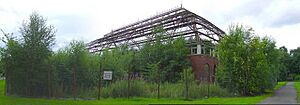
The Winter Gardens in Springburn Park are a Category A listed building. These large glasshouses were popular in Victorian times for growing exotic plants and for public enjoyment.
Glasgow Harbour Tunnel Rotunda
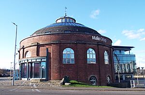
The Glasgow Harbour Tunnel, also known as the Finnieston Tunnel Shaft and Rotunda, at 100 Govan Road, is a Category B listed building. These rotundas are distinctive landmarks.
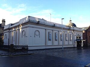
Palace Of Art
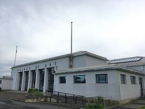
The Palace of Art at 1121 Paisley Road West is a Category B listed building. It was built for the 1938 Empire Exhibition and is one of the few remaining buildings from that event.
Crookston Castle
Crookston Castle at 170 Brockburn Road is a Category A listed building. It's a medieval castle ruin, offering a glimpse into much older times in Glasgow's history.
Haggs Castle
Haggs Castle at 100 St Andrews Drive, including its outbuilding, is a Category B listed building. It's another historic castle that has been preserved.
Citizens Theatre
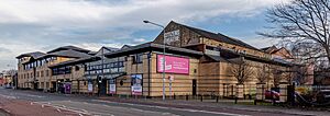
The Citizens Theatre at 119 Gorbals Street is a Category B listed building. It's a well-known theatre in Glasgow with a long history of performances.
Govan Town Hall
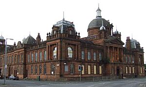
The former Govan Town Hall at 401 Govan Road is a Category B listed building. Town halls are often grand buildings that were central to local government and community life.
Pearce Institute
The Pearce Institute at 840, 860 Govan Road is a Category A listed building. It was built as a community center and is a very important building in Govan.
Royal Scottish Automobile Club
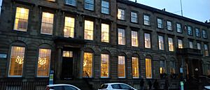
The Royal Scottish Automobile Club at 8-13 Blythswood Square is a Category B listed building. It's a grand building that was once a club for car enthusiasts.
Former Athenaeum Theatre
The former Athenaeum Theatre at 179 Buchanan Street is a Category A listed building. It's an important part of Glasgow's entertainment history.
The Salon
The Salon at 17 Vinicombe Street, including its boundary wall and railings, is a Category A listed building.
Partick Burgh Halls
Partick Burgh Halls at 3-9A Burgh Hall Street are a Category B listed building. These halls were important for local government in the Partick area.
Hillhead Baptist Church
Hillhead Baptist Church at 41 Cresswell Street and 30 Cranworth Street is a Category B listed building.
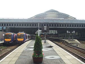
Glasgow Queen Street Station
Glasgow Queen Street Station, including its train shed and the bridge over the railway on Cathedral Street, is a Category A listed building. It's one of Glasgow's main railway stations and an important piece of engineering.
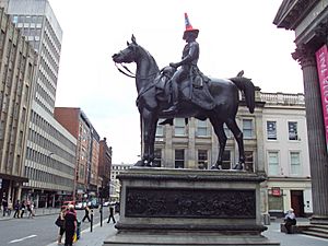
Duke Of Wellington Statue
The Duke of Wellington Statue on Queen Street is a Category A listed building. This famous statue is often seen with a traffic cone on its head, which has become a local tradition!
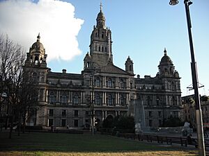
Glasgow City Chambers
The Glasgow City Chambers at 80 George Square are a Category A listed building. This grand building is where Glasgow's city council meets and is a symbol of the city's civic pride.
Bridge Of Sighs
The Bridge of Sighs in Cathedral Square, along with its gates, gatepiers, and lodge, is a Category A listed building. It's a beautiful and historic bridge.
Britannia Panopticon Music Hall
The Britannia Panopticon Music Hall at 109-121 Trongate is a Category A listed building. It's one of the oldest surviving music halls in the world and has hosted many famous performers.
Royal Infirmary
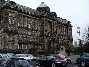
The Royal Infirmary at 82-92 Castle Street, including its clock tower building and archway, gates, and railings, is a Category B listed building. This hospital has a long history of caring for people.
Bank Of Scotland (St Vincent Street)
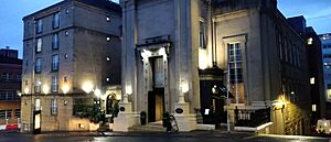
The Bank of Scotland at 110, 120 St Vincent Street and 29-37 Renfield Street is a Category A listed building. It's a very impressive building that shows the importance of banking in Glasgow's history.
Former Caledonia Road UP Church
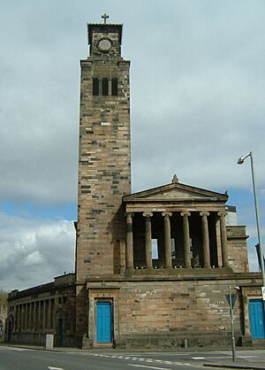
The former Caledonia Road UP Church at 1 Caledonia Road is a Category A listed building. It's a striking example of church architecture.
University of Glasgow Memorial Gates
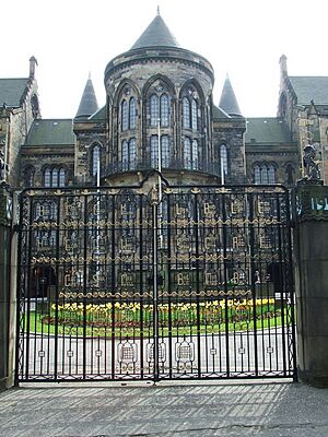
The University of Glasgow's Quincentenary Gates on University Avenue are a Category B listed building. These gates are a grand entrance to the historic university.
Images for kids
Key
The scheme for classifying buildings in Scotland is:
- Category A: "buildings of national or international importance, either architectural or historic; or fine, little-altered examples of some particular period, style or building type."
- Category B: "buildings of regional or more than local importance; or major examples of some particular period, style or building type, which may have been altered."
- Category C: "buildings of local importance; lesser examples of any period, style, or building type, as originally constructed or moderately altered; and simple traditional buildings which group well with other listed buildings."
In March 2016 there were 47,288 listed buildings in Scotland. Of these, 8% were Category A, and 50% were Category B, with the remaining 42% being Category C.
See also
- List of listed buildings in Glasgow


