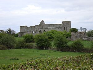
List of national monuments in County Limerick facts for kids
The Irish government has officially recognized many special places in County Limerick as "national monuments." These are important historical sites or buildings that are protected by the state because they are so valuable to Ireland's past. Sometimes, even the land around these monuments is protected to keep them safe. Think of them as treasures from long ago that we need to look after for future generations!
Contents
- Amazing Places in County Limerick
- Kilmallock Abbey
- Desmond Castle (Adare)
- Askeaton Castle
- Lough Gur
- Mungret Churches
- Hospital Church
- Dísert Óengusa
- Desmond Hall and Castle
- Killeen Cowpark Church
- Duntryleague Passage Tomb
- Killulta Church
- Glenquin Castle
- De Valera's Cottage
- Kilrush Church
- King John's Castle (Limerick)
- Fanning's Castle
- Askeaton Abbey
- Monasteranenagh Abbey
- Images for kids
- Sources
Amazing Places in County Limerick
Kilmallock Abbey
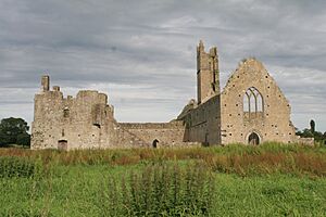
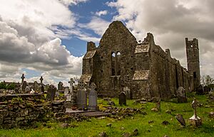
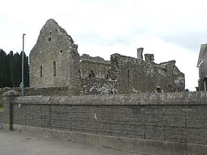
Kilmallock Abbey is an old Dominican friary located in Abbeyfarm. A friary is a type of monastery where monks lived and prayed. This abbey has stood for many centuries. It tells a story of religious life and architecture from long ago. It is a very important historical site.
Desmond Castle (Adare)
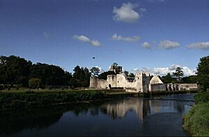
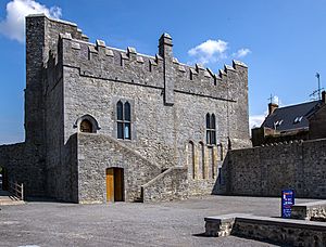
The impressive Desmond Castle is found in Adare. This castle is a strong reminder of medieval times. Castles like this were built for defense and as homes for powerful lords. It shows us how people lived and protected themselves centuries ago.
Askeaton Castle
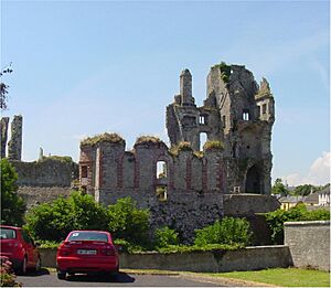
Askeaton Castle is another historic castle in Askeaton. It is a significant landmark in the area. This castle played an important role in Irish history. It often changed hands during different conflicts. Its ruins still stand proudly today.
Lough Gur
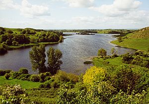
Lough Gur is a truly special place near Bruff. It is not just one monument but a whole area filled with ancient sites. People have lived around Lough Gur for thousands of years. You can find many different types of old structures here. These include tombs, stone circles, and even old house sites. It's like an open-air museum of ancient Ireland.
Lough Gur Tomb
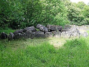
Among the many treasures at Lough Gur are several ancient tombs. One of these is a megalithic tomb. Megalithic means "made of large stones." These tombs were built by early people. They used them to bury their dead. These structures give us clues about their beliefs.
Lough Gur Stone Circle
Lough Gur is also home to a potential stone circle. Stone circles are mysterious ancient monuments. Their exact purpose is still debated by historians. They might have been used for ceremonies or as calendars.
Grange Stone Circle
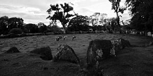
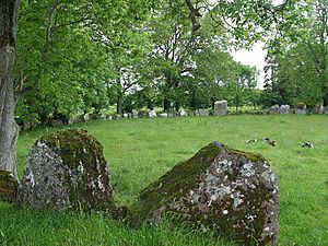
The Grange Stone Circle is a very famous monument at Lough Gur. It is an embanked stone circle. This means it has a bank of earth around it. It is one of the largest stone circles in Ireland. It is a powerful link to our ancient past.
Mungret Churches
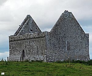
In Baunacloka and Dromdarrig, you can find the Mungret Churches. This site actually has three churches. They are very old and show different periods of church building. They are important for understanding early Christian history in Ireland.
Hospital Church
The Hospital Church is located in Barrysfarm. This church was once connected to the Knights Hospitallers. They were a military and religious order. They cared for pilgrims and the sick. The church is a reminder of their presence in Ireland.
Dísert Óengusa
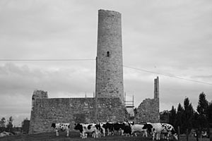
Dísert Óengusa is an early medieval hermitage. It is found near Croom in Carrigeen. A hermitage is a place where a hermit, a person living alone for religious reasons, would stay. This site includes a famous round tower. Round towers were common in early Irish monasteries. They were used as bell towers, lookouts, and places of refuge.
Desmond Hall and Castle
In Newcastlewest, you can explore the Desmond Hall and Castle. This is a large medieval castle complex. It includes a grand hall and other castle buildings. It was once a very important stronghold. It shows the power of the Desmond family.
Killeen Cowpark Church
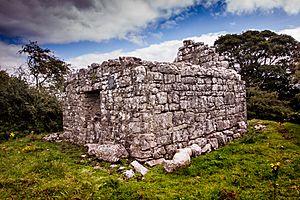
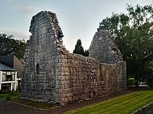
The Killeen Cowpark Church is an old church ruin in Cowpark. It stands as a testament to the religious life of the past. Even in ruins, it offers a glimpse into the architecture and history of local churches.
Duntryleague Passage Tomb
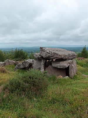
The Duntryleague Passage Tomb is a significant ancient burial site. It is located in Deerpark. Passage tombs are very old structures. They have a passage leading to a burial chamber. They were built by prehistoric communities. They are important for understanding ancient burial customs.
Killulta Church
Killulta Church is another historic church in Glennameade. Its ruins tell a story of centuries of worship. It is a quiet and peaceful place. It connects us to the people who lived and prayed there long ago.
Glenquin Castle
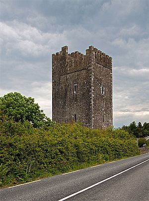
Glenquin Castle is a castle located in Killeedy. It is a well-preserved tower house. Tower houses were common in Ireland. They were built by local lords for defense and as homes. Glenquin Castle gives us a good idea of what these buildings looked like.
De Valera's Cottage
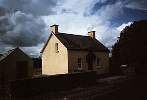
De Valera's Cottage in Knockmore is a house with strong historical links. It was the home of Éamon de Valera. He was a very important figure in Irish history. He served as President of Ireland. This cottage is protected because of its connection to him.
Kilrush Church
Kilrush Church is located in the city of Limerick. It is an old church with a rich history. It stands as a reminder of the city's past. It shows the development of religious buildings over time.
King John's Castle (Limerick)
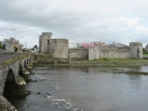
One of Limerick's most famous landmarks is King John's Castle. It is a large and powerful castle. It sits on King's Island in the River Shannon. It was built in the 13th century. It has played a key role in many historical events. It is a must-see for anyone visiting Limerick.
Fanning's Castle
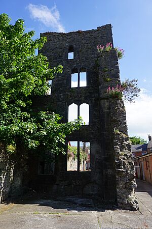
Fanning's Castle is another historic castle in Limerick. It is located on Creagh Lane. While perhaps not as grand as King John's Castle, it is still an important part of Limerick's medieval past. It shows the many layers of history in the city.
Askeaton Abbey
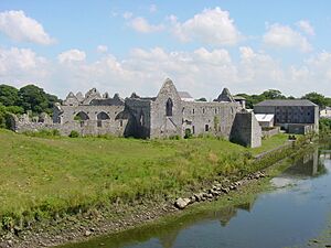
Askeaton Abbey is a Franciscan friary in Moig South. Like Kilmallock Abbey, it was a place of worship and community for monks. The ruins are beautiful and peaceful. They offer a glimpse into the lives of the Franciscan order.
Monasteranenagh Abbey
Monasteranenagh Abbey is a Cistercian abbey in Monaster South. The Cistercian order was known for its strict rules and simple life. This abbey was once a very important religious center. Its impressive ruins show its former glory.
Images for kids
Sources
- National Monuments in County Limerick
 | Mary Eliza Mahoney |
 | Susie King Taylor |
 | Ida Gray |
 | Eliza Ann Grier |


