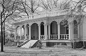
National Register of Historic Places listings in Anderson County, South Carolina facts for kids
Welcome to Anderson County, South Carolina! This page is all about the special places here that are listed on the National Register of Historic Places. Think of the National Register as a very important list of buildings, sites, and objects across the United States that are worth saving because of their history. These places tell us stories about the past and help us understand how people lived long ago.
In Anderson County, there are 24 amazing places currently on this list. Two other places were once listed but have since been removed. Let's explore some of these cool historic spots!
Contents
Historic Places in Anderson
Anderson is the largest city in Anderson County, and it has many historic buildings.
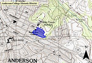
Anderson College Historic District
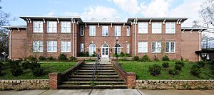
The Anderson College Historic District is located at 316 Boulevard Avenue. It was added to the National Register on May 20, 1998. This area includes important buildings from Anderson College, which is now Anderson University.
Anderson Downtown Historic District
The Anderson Downtown Historic District covers the main street area between Tribble and Market Streets. It was first listed on February 23, 1979. This district shows what the heart of Anderson looked like many years ago, with its old shops and buildings.
Anderson Historic District
The larger Anderson Historic District includes a wider area bounded by streets like Hampton, Main, Franklin, McDuffie, Benson, and Fant. It joined the list on December 13, 1971. This district has many historic homes and buildings that show the city's growth.
Caldwell-Johnson-Morris Cottage
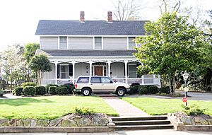
The Caldwell-Johnson-Morris Cottage is a charming old house at 220 East Morris Street. It became a historic place on October 7, 1971. This cottage gives us a peek into how homes were designed in the past.
Denver Downs Farmstead
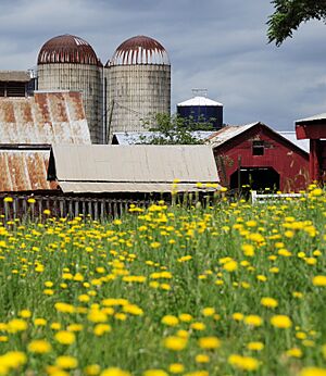
The Denver Downs Farmstead is a historic farm located at 4915 Clemson Boulevard. It was added to the Register on March 7, 2007. This farm shows how agriculture was important to the area's history.
Kennedy Street School
The Kennedy Street School at 816 Kennedy Street was listed on October 24, 2007. This school building is important because of its role in education in the community.
North Anderson Historic District
The North Anderson Historic District includes areas around East and West North Avenue. It was recognized on July 31, 2008. This district features homes and buildings that tell the story of how Anderson grew to the north.
Dr. Samuel Marshall Orr House
The Dr. Samuel Marshall Orr House is located at 809 West Market Street. This house became a historic site on April 13, 1973. It was once the home of an important person in Anderson's history.
Ralph John Ramer House
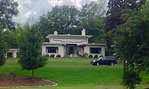
The Ralph John Ramer House at 402 Boulevard was added to the Register on February 10, 1992. This house is another example of the beautiful and historic homes in Anderson.
Historic Places in Pendleton
Pendleton is another town in Anderson County with a rich history.
Ashtabula
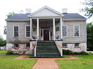
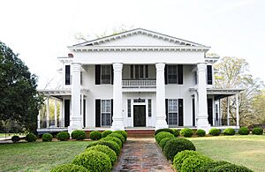
Ashtabula is a historic home located about 1.25 miles northeast of Pendleton, off South Carolina Highway 88. It was listed on March 23, 1972. This old plantation house is a great example of early architecture.
Boone-Douthit House
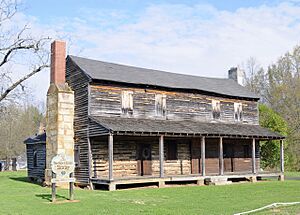
The Boone-Douthit House can be found at 1000 Milwee Creek Road. It joined the National Register on July 3, 1997. This house has a unique history and design.
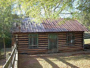
Faith Cabin Library at Anderson County Training School
The Faith Cabin Library at Anderson County Training School is at 145 Town Street. It was listed on November 14, 2012. This library is special because it was part of a program that provided books to African American communities during a time when resources were limited.
Pendleton Historic District
The Pendleton Historic District is a large area that includes much of the town. It was listed on August 25, 1970. This district is so big that it even extends into Oconee and Pickens counties! It has many old buildings and sites that tell the story of Pendleton.
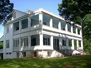
Woodburn
Woodburn is a historic estate located at the end of Woodburn Road, west of Pendleton. It was added to the Register on May 6, 1971. This beautiful property gives us a glimpse into the past of large estates in the area.
Historic Places in Belton
Belton is another town in Anderson County with its own unique historic sites.
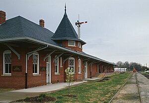
Belton Depot
The Belton Depot is located in the Public Square. This old train station was listed on August 13, 1979. It's a reminder of when trains were a main way to travel and transport goods.
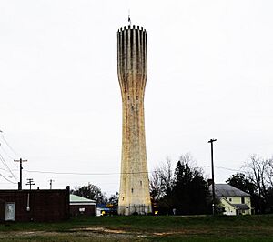
Belton Standpipe
The Belton Standpipe is a tall water tower on McGee Street. It became a historic site on November 5, 1987. This standpipe is an important part of Belton's infrastructure history.
Chamberlain-Kay House
The Chamberlain-Kay House is at 205 River Street. It was added to the National Register on November 25, 1980. This house is a great example of historic residential architecture in Belton.
Historic Places in Other Towns
Pelzer Presbyterian Church (Pelzer)
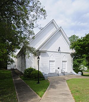
The Pelzer Presbyterian Church is located at 13 Lebby Street in Pelzer. It was listed on December 13, 1993. This church has been a central part of the Pelzer community for many years.
Obediah Shirley House (Honea Path)
The Obediah Shirley House is on Bagwell Road near Honea Path. It became a historic site on September 3, 1999. This house represents the rural history of the area.
Former Listings
Sometimes, a place that was once on the National Register of Historic Places is removed from the list. This can happen if the building is torn down or if it changes so much that it no longer has its historic value.
McFall House
The McFall House was located near Anderson on SR 247. It was listed in 1982 but was removed from the list on December 8, 2005, because it no longer exists.
Nick Prevost House
The Nick Prevost House was at 105 North Prevost Street in Anderson. It was listed in 1984 but was removed on December 8, 2005, because it also no longer exists.


